OKUMUSASHI TRAIL
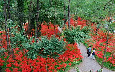
1. Mt. Tenranzan and Kinchakuda Trail
Kinchakuda is a field famous for a tremendous number of spider lily flowers in the early autumn. In spring, the field is fringed with cherry blossom trees along the riverbank. It is so called as the shape of the field resembles “kinchaku,” a money pouch with a drawstring.
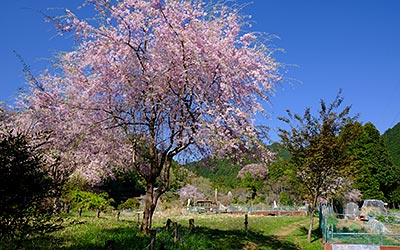
2. Mt. Hiwada and Mt. Monomi Trail
Koma area has been a district where many people from Korean peninsula lived since 1,300 years ago. Just outside the ticket gate of Koma station, there are a pair of jangseung, Korean totem poles. In Korea, they are traditionally placed at the edges of villages as marks for village boundaries and frighten away demons.
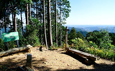
3. Mt. Tenkaku and Mt. Ohtaka Trail
The mountain range stretching from Mt. Tenranzan to Mt. Izugatake in Okumusashi area is called “Hanno Alps.” Mountains forming Hanno Alps are all low hills with Mt. Izugatake (851m) being the highest peak. But hikers should beware that small uphills and downhills repeat one after another, making the trail here one of the toughest in Okumusashi area.
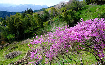
4. Takayama Fudoson Temple and Kaoburi Pass Trail
Beautiful countryside and mountains covered with green leaves and flowers. In the springtime, the forest is densely green with the new leaves. Many kinds of flowers will bloom, making the mountains so colorful.
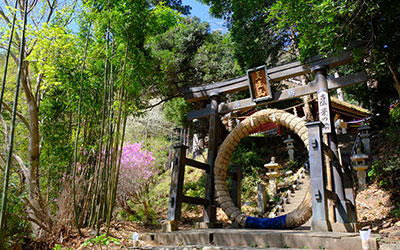
5. Nenogongen Temple and Takedera Temple Trail
Visiting two historic Buddhist temples of the Tendai Sect of esoteric Buddhism. Both of them have a torii gate at the entrance indicating the merger of Shinto and Buddhism, one of religious characteristics in Japan. Panoramic views from these temples especially clear in the late autumn.
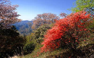
6. Mt. Tsutsuji and Kanhasshu Miharashidai Overlook Trail
Once you come to the peak of Mt. Tsutsuji, the trail to Kanhasshu Miharashidai Overlook is fairly easy and comfortable along Kanto Fureai Trail (Kanto Region Natural Trail). Kanto Fureai Trail, stretching 1,800 km around the Kanto area, is a collection of hiking trails starting and ending at the foot of Mt. Takao in Tokyo. A large number of routes are laid out to cover natural scenery and pastoral landscapes, as well as cultural and historical sites.
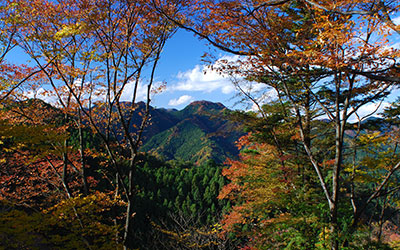
7. Mt. Izugatake Trail
This is one of the most popular trekking couses in Oku-Musashi area. Fresh green leaves will be all around Mt. Izugatake during the middle of April to the middle of May. Azalea blossoms most beautiful in the early May.
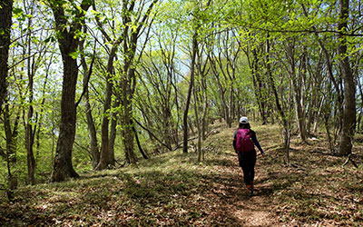
8. Old Shomaru Pass and Mt. Kaba Trail
Since the old days, the silkworm-raising was a main industry in Chichibu area. In the Edo period (1603?1867), many factories were set up to produce silk textiles which were transported to Edo (present Tokyo) by Agano Route running from Hanno through Chichibu. Also in the Edo period, pilgrimage to 34 temples in Chichibu became popular and many people from Edo took Agano Route for visiting those temples. The route introduced here is a part of it.
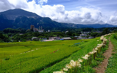
9. Mt. Maruyama and Mt. Hinata Trail
Mt. Maruyama is located in the northwestern edge of the mountain ranges running along Okumusashi Green Line forest road. Okumusashi Green Line, a 40-kilometer forest road stretching from Lake Kamakita in the southeast to Chichibu area in the northwest, is very popular among cyclists with many peaks and passes. There are many trails running along it, so hikers often cross the road when they are in this area.
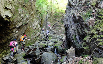
10. Mt. Bonomine and Shirayazawa Valley Trail
To get to the summit of Mt. Bonomine, hikers should follow the Shirayazawa valley trail, the highlight of this route. The Shirayazawa valley is a beautiful area with waterfalls, and above all, a grand gorge which you could rarely find in other places near Tokyo.
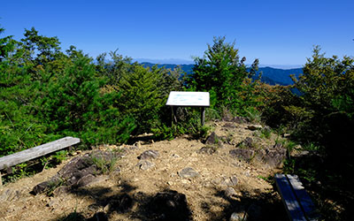
11. Mt. Warabi Trail
Located at the border of Okumusashi and Okutama, Mt. Warabi is one of popular peaks in Naguri area along with Mt. Bohnomine sitting in the south of Lake Naguri.
Along the route from Nago bus stop to Mt. Warabi, there are a couple of steep slopes of rocky and slippery terrain in some places. In this trail guide, the route is introduced so as to avoid descending these dangerous slopes.
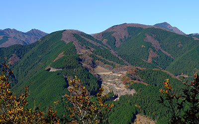
12. Mt. Takekawa and Mt. Futago Trail
Mt. Takekawa and Mt. Futago sit along a mountain range stretching from Nago to Ashigakubo sandwiched by Mt. Buko to the west and Mt. Izugatake to the east.
The trails in this section are full of variations including oddly-shaped rock outcroppings and steep and slippery terrain where you need to grab ropes.
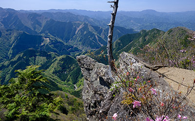
13. Mt. Ohmochiyama and Mt. Komochiyama Trail
Mt. Ohmochi is one of the deepest peaks in Okumusashi that form the mountain range where Iruma River originates. Woods of oak and beech trees cover the mountain ridge to the south, making here a rather unique and precious landscape in Okumusashi where cedar plantations are most common.
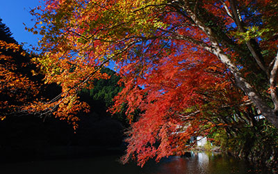
14. Lake Kamakita and Shukuya Waterfalls Trail
Beautiful and peaceful “Satoyama” countryside scenery along Oyagi River on the way from Moro station to Lake Kamakita.
> Lake Kamakita boasts breathtaking views of cherry blossom trees in full bloom along the lake bank in the springtime and a mirror-like surface of the lake reflecting the autumn foliage.
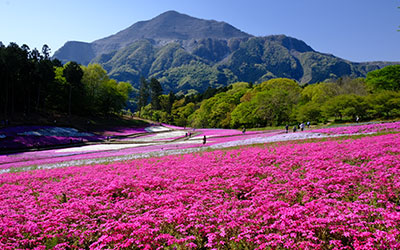
30. Mt. Buko Trail
Mt. Buko, a majestic mountain sitting in front of downtown Chichibu, has been worshipped as a sacred mountain. Unfortunately the northern side of the mountain has been deformed by being excavated as materials for cement.
Chichibu Night Festival in early December is held to give thanks to kami of Mt. Buko for the year’s harvest. The festival has a history of over 300 years and was added to the UNESCO Intangible World Cultural Heritage list in 2016.
Translator: Shuji Ozaki Author: Toru Sasaki
