3. Mt. Tenkaku and Mt. Ohtaka Trail (天覚山・大高山)
Trail Location: Start: Musashi-yokote station, Seibu Chichibu line
Goal: Agano station, Seibu Chichibu line
Access From Tokyo, take an express train or a limited express train on the Seibu Ikebukuro line at Ikebukuro to Hanno. From there, take the Seibu Chichibu line to Musashi-yokote station. The trip takes 70 minutes.
To return to Tokyo, take the Seibu Chichibu line at Agano station to Hanno station. From there, take the Seibu Ikebukuro line to Ikebukuro station.
Total Length: 10.6km
Course Time: 5 hours and 10 minutes
Elevation Difference: 383m
Difficulty Rating: 3(moderate)
Difficulty ratings: (1) beginner, (2) easy, (3) moderate, (4) strenuous
Trail Features
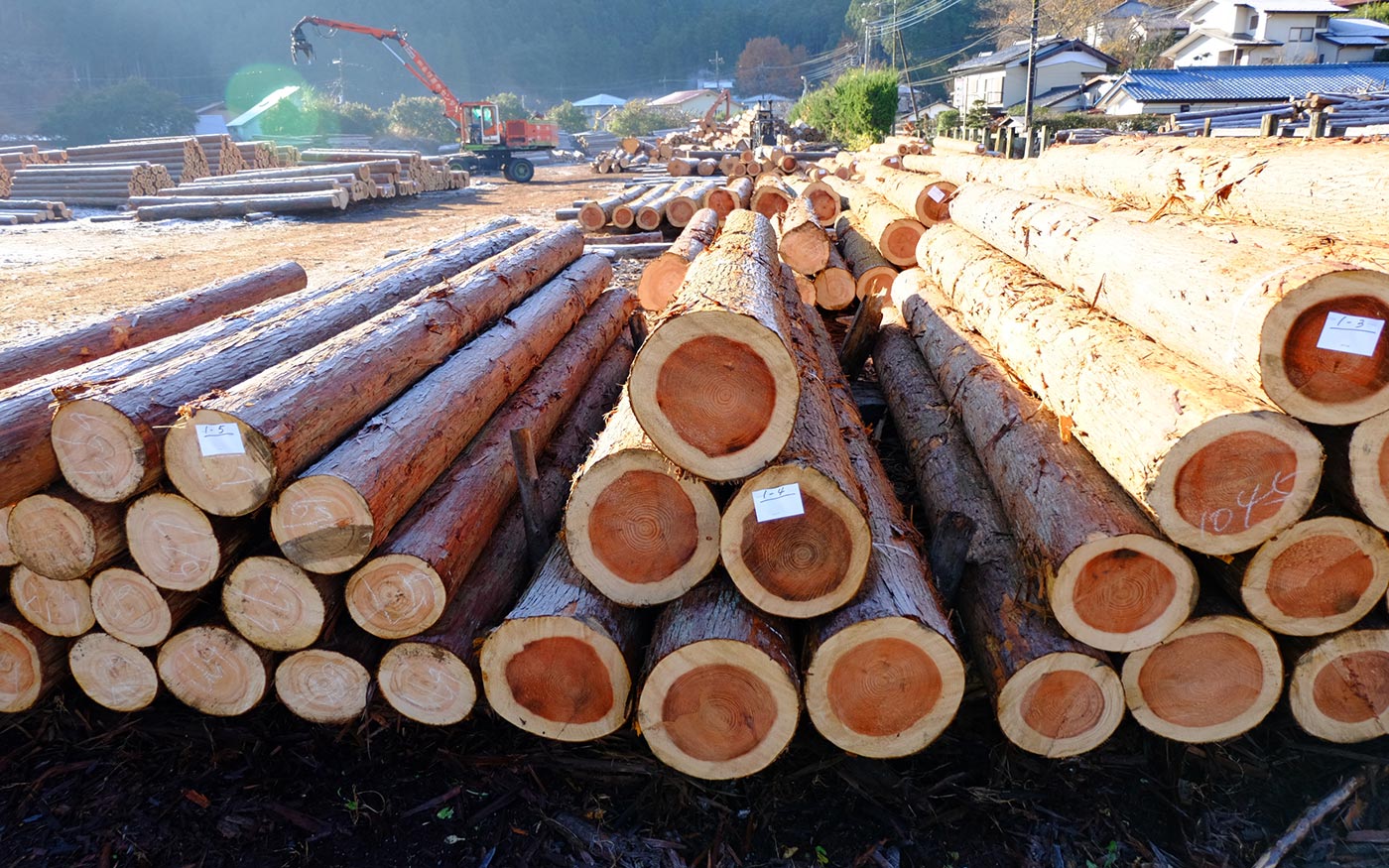
・The mountain range stretching from Mt. Tenranzan to Mt. Izugatake in Okumusashi area is called “Hanno Alps.” Mountains forming Hanno Alps are all low hills with Mt. Izugatake (851m) being the highest peak. But hikers should beware that small uphills and downhills repeat one after another, making the trail here one of the toughest in Okumusashi area.
・As Hanno Alps runs along the Seibu Chichibu line, there are several escape routes leading to train stations. If you feel like quitting the hike halfway, you can take one and head for Higashi-Agano station.
Trail Description
To Kusumizaka
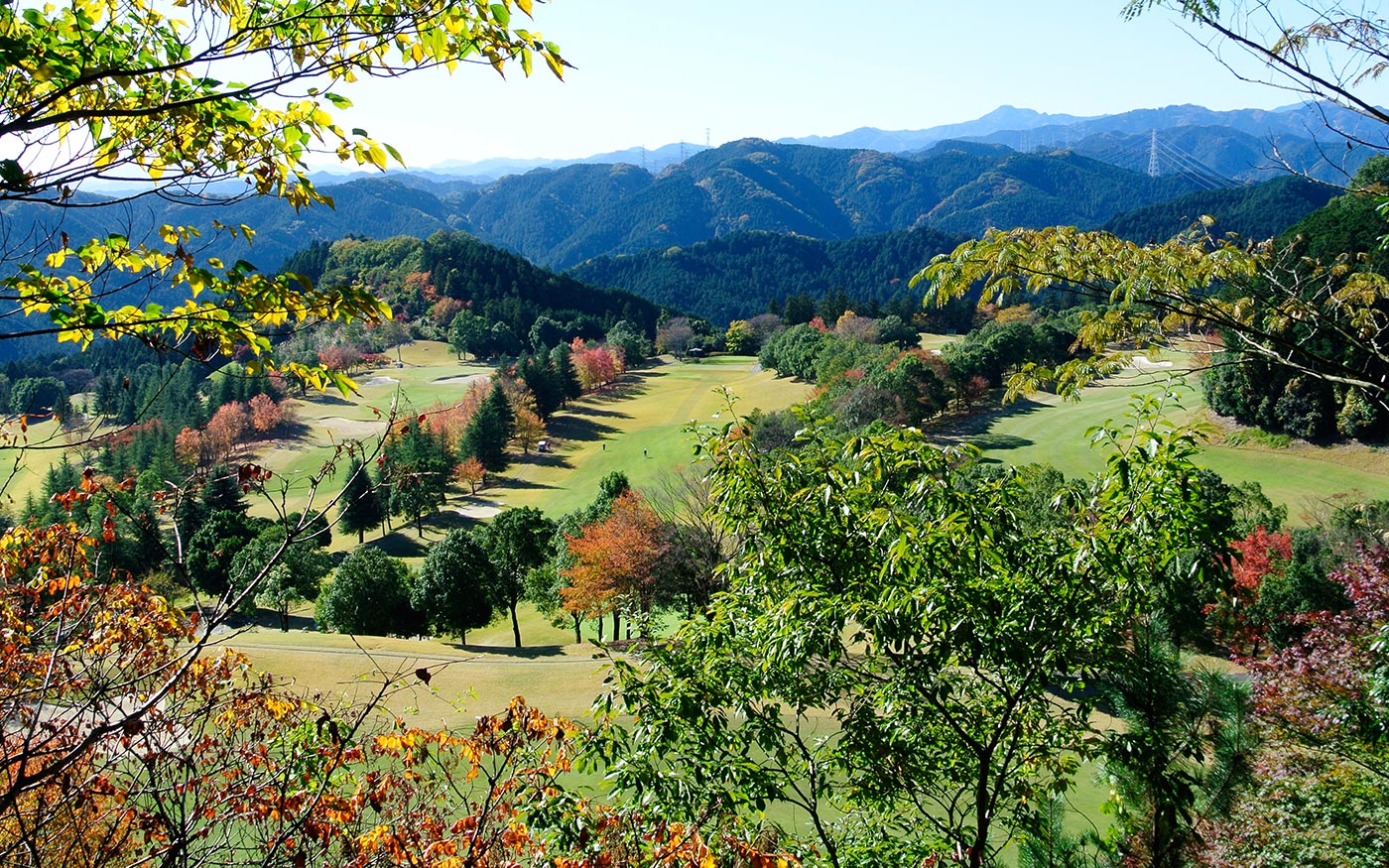
From Musashi-yokote station, turn left and walk along the Route 299 for a while. Turn left at a bridge over Koma River, cross the train tracks and follow a country road. It will soon turn into a dirt road running along a stream in the woods. After about 1.5 km from the station, the forest road makes a sharp curve to right. Enter a trail that forks off here and ascend a trail along a stream toward Kusumizaka.
To Mt. Tenkaku
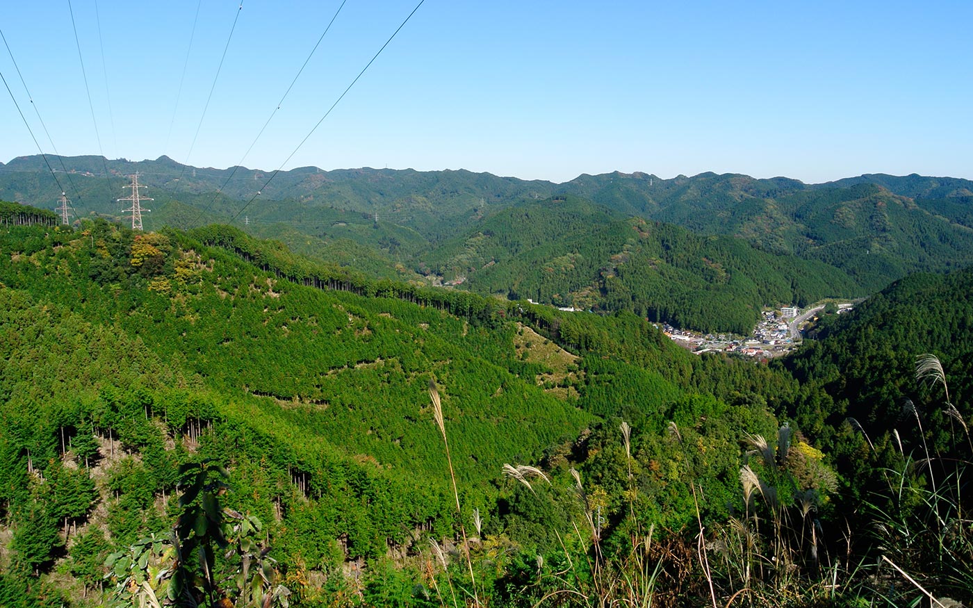
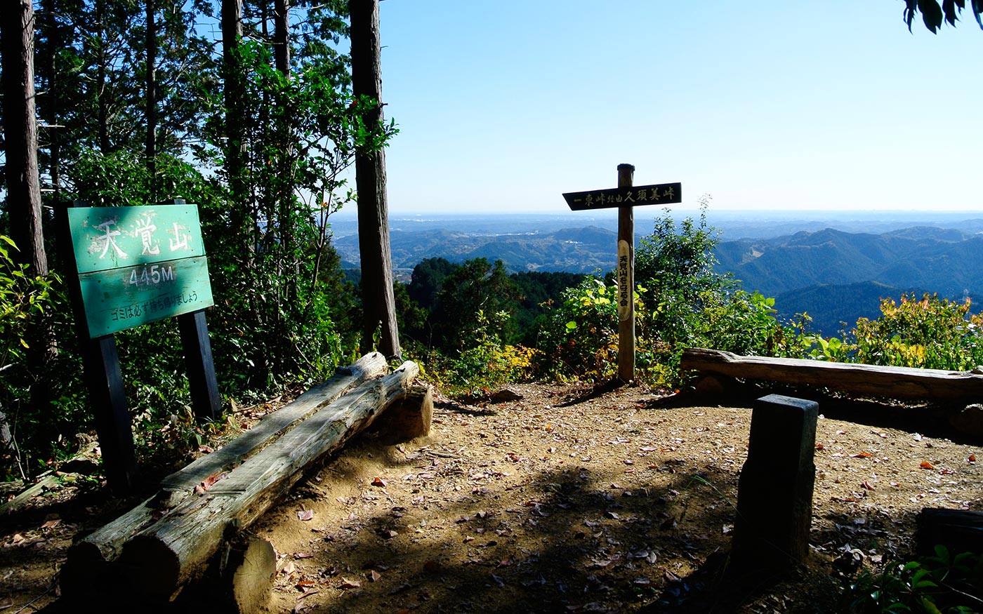
When you hit the ridge of Hanno Alps at Kusumizaka, make a right turn and head for northwest toward Mt. Tenkaku. There are few steep slopes along Hanno Alps, but small uphills and downhills repeat one after another. After about 2 km, the trail will hit a forest road at Higashi Pass. Turn left and walk the road for 50 meters. Then fork right to enter a trail again. From there, it’s less than 1 km in the woods of cypress trees to Mt. Tenkaku. Along the way, you will pass by a power transmission tower just off the route. From the base of the tower, you can have panoramic views of mountain range beyond Koma River. Just before the hilltop of Mt. Tenkaku is a steep uphill. The hilltop of Mt. Tenkaku is a nice spot for a break. Enjoy panoramic views of Okutama and Tanzawa mountain ranges to the south. There is an escape route leading to Higashi-Agano station from there.
To Mt. Ohtaka
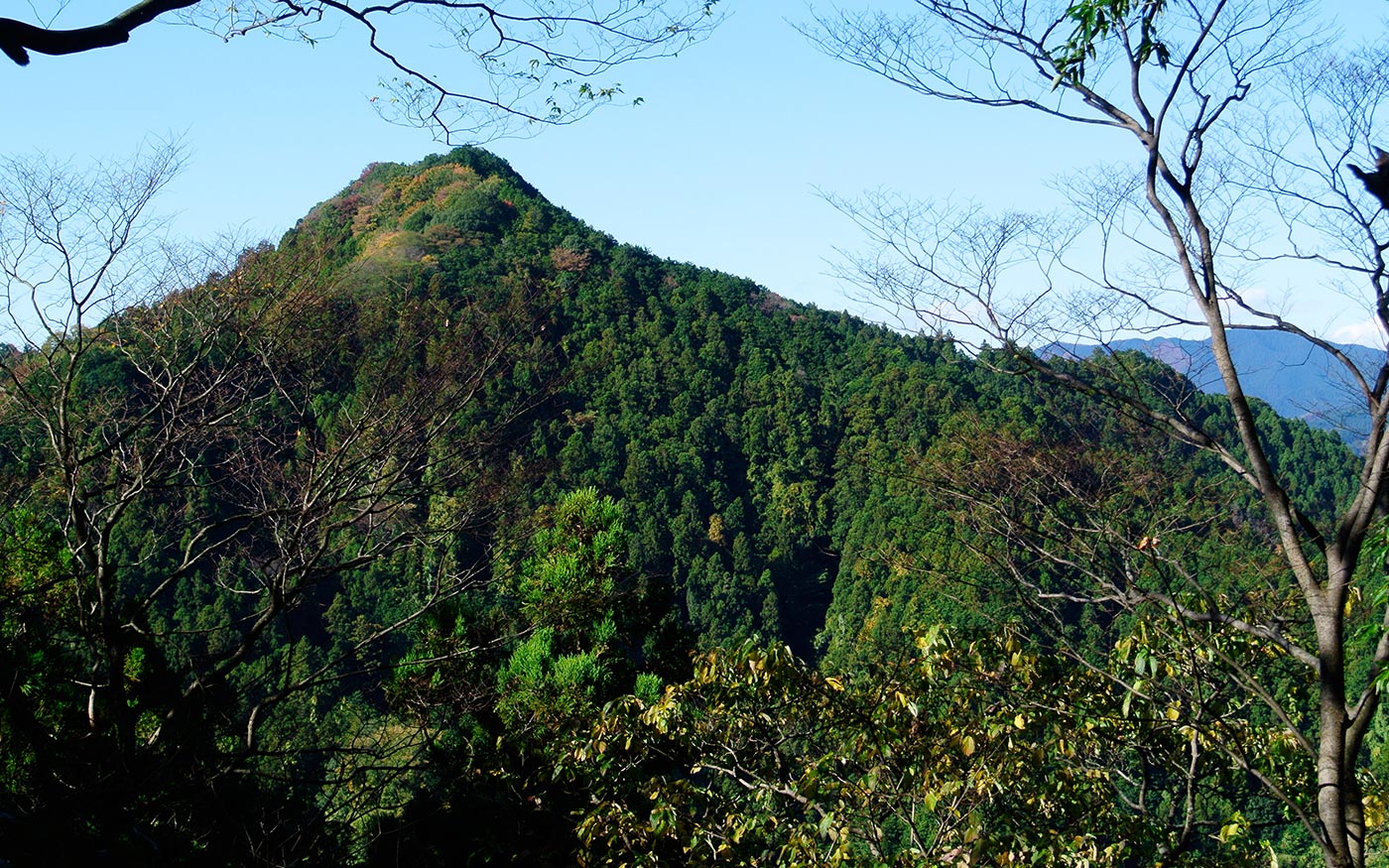
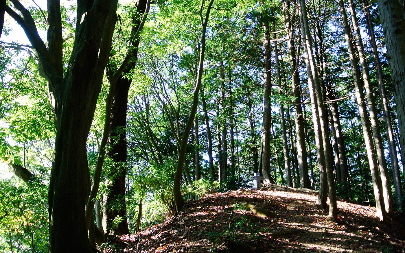
Along the trail from Mt. Tenkaku to Mt. Ohtaka, you will again find the ups and downs repeating one after another. About 500 meters to Mt. Ohtaka, there is a boulder serving as a marker in this section. You can skirt around the boulder to continue on. Just before the hilltop is a steep climb again. The hilltop of Mt. Otaka is mostly surrounded by trees. Through the gap of trees, views of mountains of Okutama will come into view.
To Agano station
The trail from the hilltop starts with a steep descent. Like other sections, roots of trees cover the terrain, making it slippery and tricky to walk. After about 500 meters, the trail crosses a forest road. The trail continues with a short ascent at the opposite side of the road. After another 500 meters, you will come to a junction at Maesaka. The trail heading straight will take you to Ne-no-gongen temple. Fork right to head for Agano station. From there it’s a 30-minute walk to the station.
Translator: Shuji Ozaki Author: Toru Sasaki
