13. Mt. Ohmochiyama and Mt. Komochiyama Trail (大持山・小持山)
Trail Location: Start: Nago Bus Stop
Goal: Nago Bus Stop
Access From Tokyo, take an express train or a limited express train on the Seibu Ikebukuro line at Ikebukuro to Hanno. The trip takes 40 to 50 minutes. Then take a bus to Nago at Hanno station and get off at the final stop. The trip takes about an hour.
To return to Tokyo, return the same route.
Total Length: 16.6 km
Course Time: 8 hours and 5 minutes
Elevation Difference: 964m
Difficulty Rating: 4 (strenuous)
* Difficulty ratings: (1)beginner, (2) easy, (3) moderate, (4) strenuous
Trail Features
・Mt. Ohmochi is one of the deepest peaks in Okumusashi that form the mountain range where Iruma River originates. Woods of oak and beech trees cover the mountain ridge to the south, making here a rather unique and precious landscape in Okumusashi where cedar plantations are most common.
・Some parts of the mountain are made of limestone. Near the Torikubi Pass Trailhead, there are ruins of a limestone excavation plant and the train tracks which have been under operation until 2016 and still attract railway fans.
・In the old days, the trail running through Tsumasaka Pass was one of main routes connecting Nago and Yokoze. It is said that “Tsumasaka (wife’s slope)” is named as the samurai general from this area saw his wife off at this pass upon heading for a battle.
Trail Description
To Tsumasaka Pass
From Nago bus stop, follow the country road along Iruma River to the northwest. After about 1 km, fork right at Ohbato Bridge to head for Tsumasaka Pass. About half way from Ohbato Bridge, you may find a small stone road sign inscribed as the headwaters of Iruma River. You will soon come to a junction where you should go straight until you hit the trailhead. The trail starts with a gentle slope, then after a steep climb of switchbacks, you will hit a junction at Tsumasaka Pass.
To Mt. Ohmochi
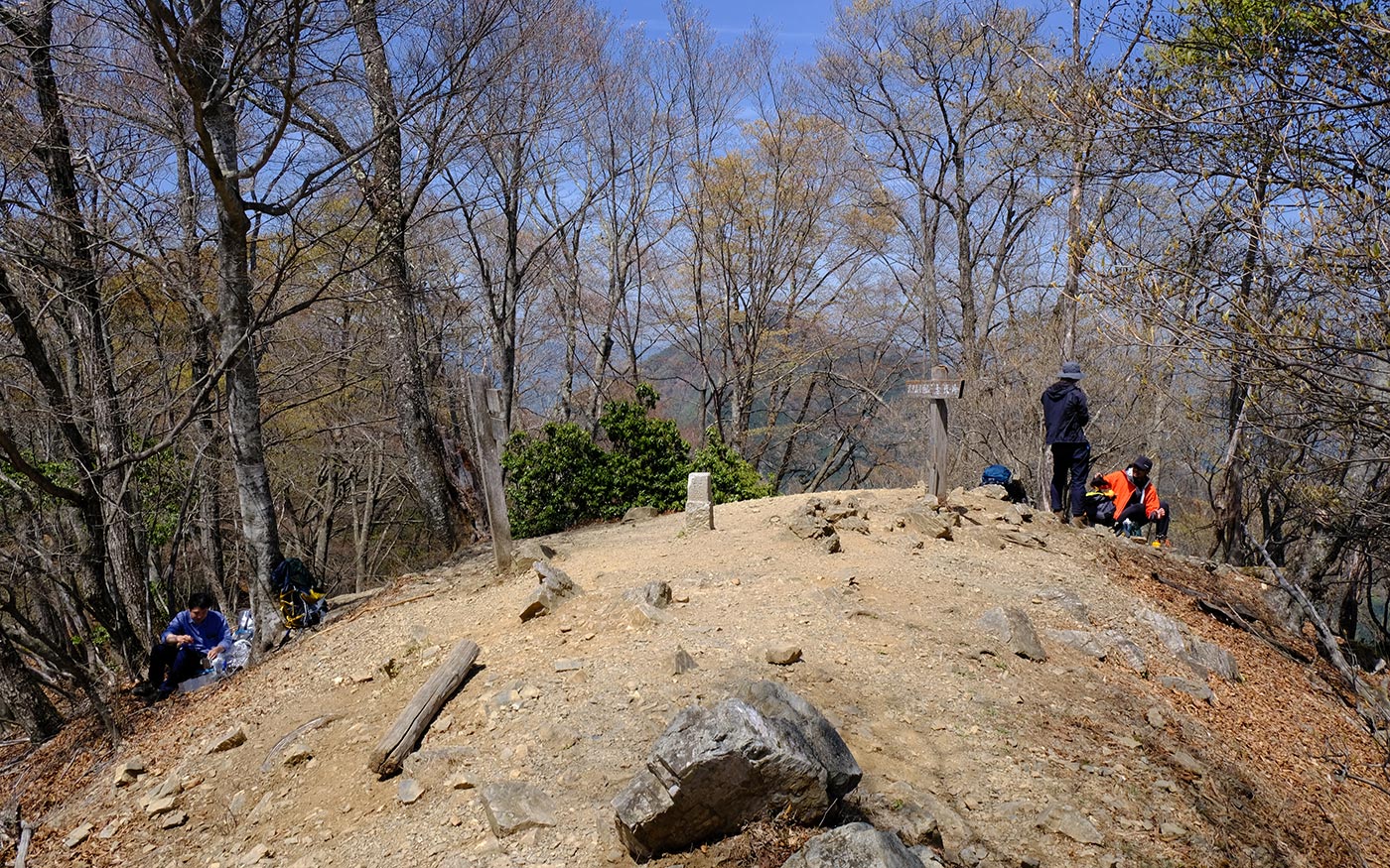
Fork left at the Tsumasaka Pass to head for Mt. Ohmochi. The route starts with a very steep slope. There are rain-eroded sections that are filled by sandbags, making the trail even more slippery. Once the steep section is over, the trail becomes a gentle slope lined up with beech trees and white birch trees. After a short walk in beautiful woods, you will come to a junction to Mt. Ohmochi, a nice spot to have a break as the view is even better than from the summit which is a couple of hundred meters away to your right.
To Mt. Komochi
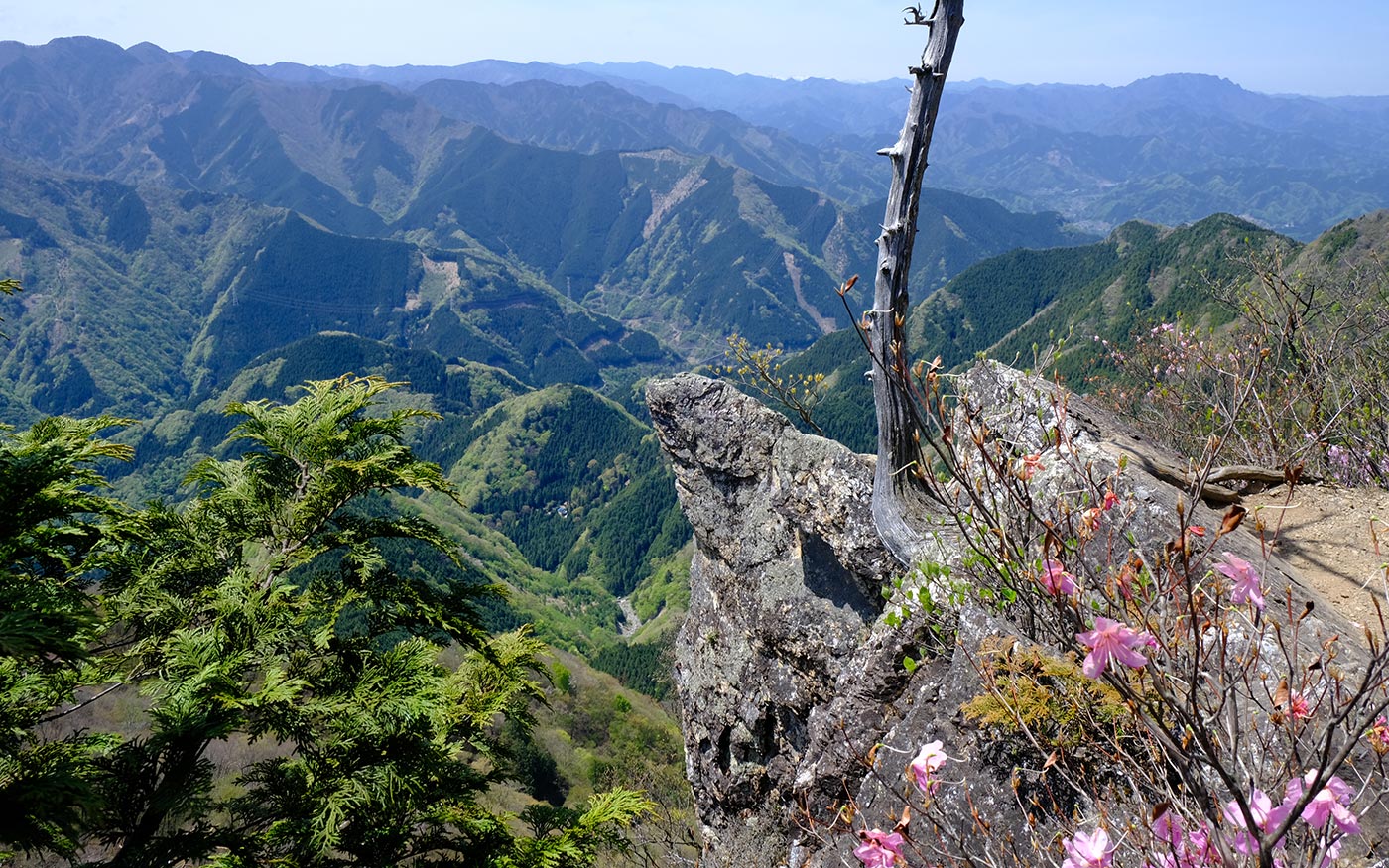
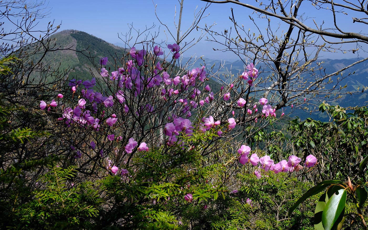
The section between Mt. Ohmochi and Mt. Komochi is quite different from other parts of the course. While most of the routes are either country roads or dirt trails, this section is a rugged trail of small uphill and downhill. At some sections you will walk along the edge of a ridge with vertical drops or pass through a narrow gap between rocks. It’s nothing exceedingly dangerous, but you should take your time and be cautious. Once at the top of Mt. Komochi, Mt. Buko will come into view just in front of you.
Back To Nago Bus Stop
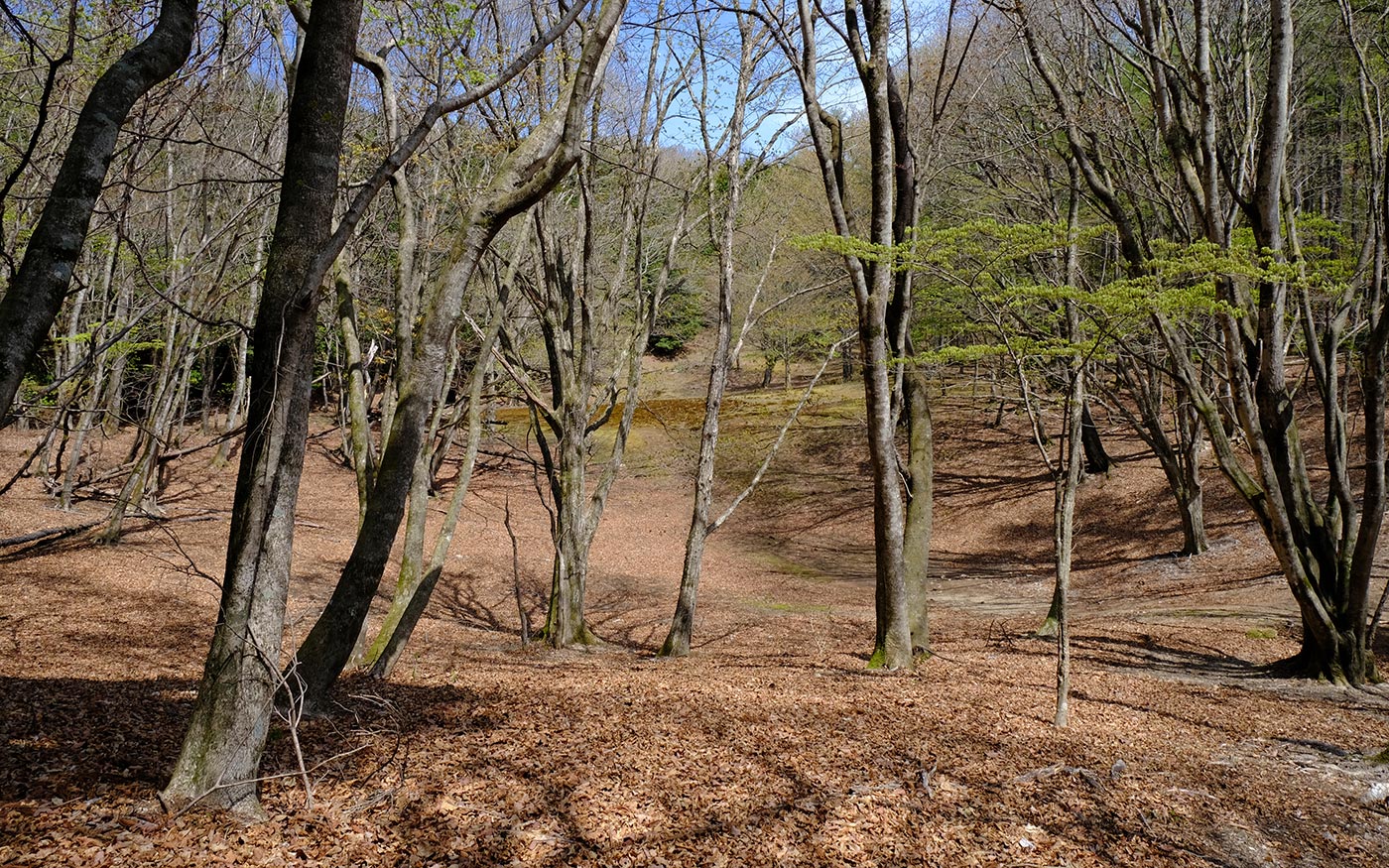
After returning to Mt. Ohmochi, go straight at the junction and head for Torikubi Pass. It’s about 75 minutes from Mt. Ohmochi to Torikubi Pass. The path stretches along a mountain ridge covered with tall beech and oak trees. During the early summer or the late autumn, hikers can enjoy beautiful lush green leaves or autumn foliage in this section.
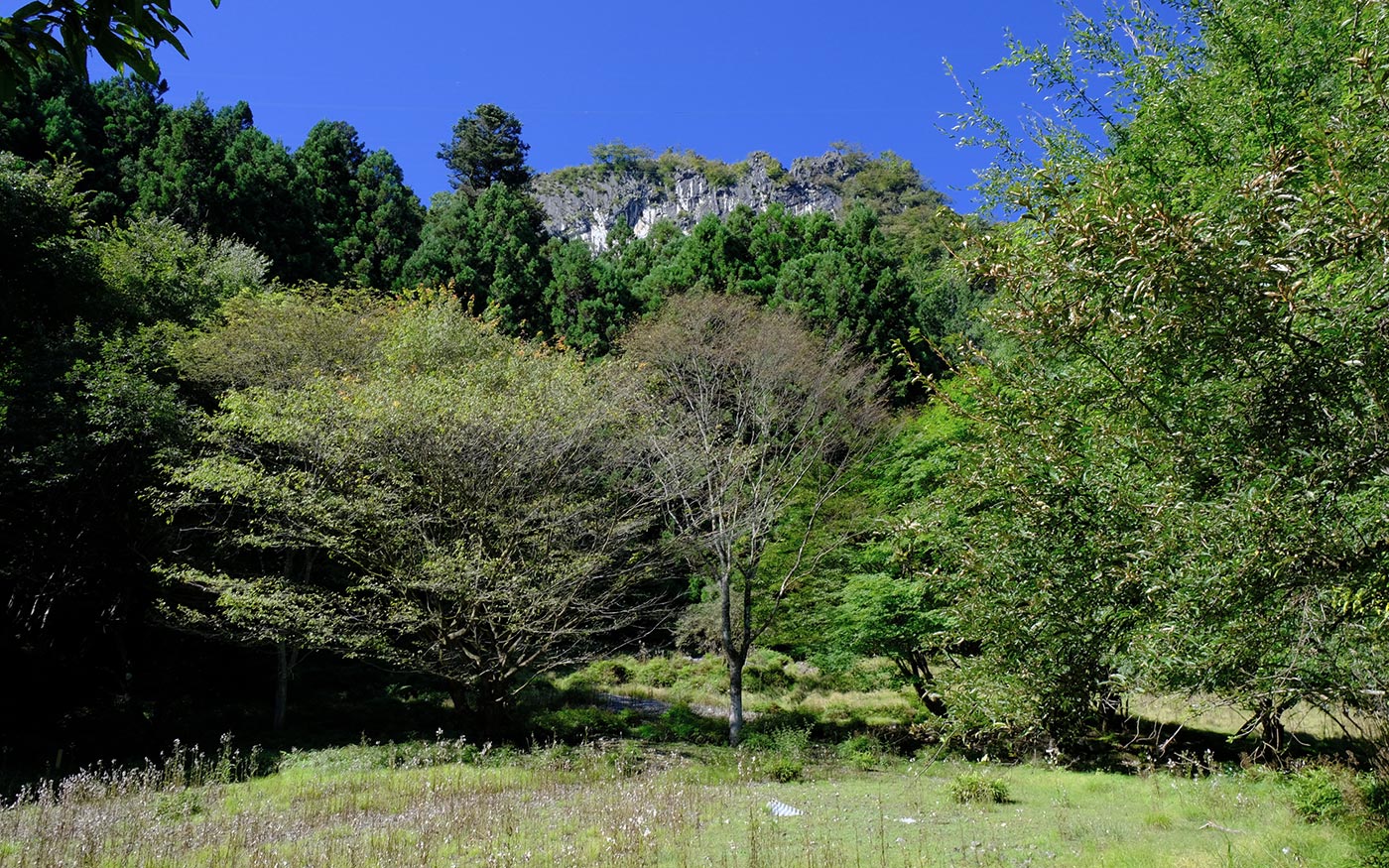
Turn left at Torikubi Pass and after a steep descent of switchbacks, cross small streams for a couple of times. After a while you will pass by abandoned houses and mining plant buildings where a limestone excavation plant was under operation until 2016. Then you will soon come to the trailhead. From the trailhead, it’s about half an hour to Ohbato Bridge. Then turn right and follow a country road that you have come for about 20 minutes to get to Nago bus stop.
A Reverse Route
Since this is a loop route, you can go the other way around. If you take a reverse route, be careful when you descend from Mt. Ohmochi to Tsumasaka Pass. The section just before Tsumasaka Pass is very steep and slippery.
Translator: Shuji Ozaki Author: Toru Sasaki
