2. Mt. Hiwada and Mt. Minomi Trail (日和田山・物見山)
Trail Location: Start: Koma station, Seibu Chichibu line
Goal: Higashi-Agano station, Seibu Chichibu line
Access From Tokyo, take an express train or a limited express train on the Seibu Ikebukuro line at Ikebukuro to Hanno. From there, take the Seibu Chichibu line to Koma station. The trip takes 60 minutes.
To return to Tokyo, take the Seibu Chichibu line at Higashi-Agano station to Hannno station. From there, take the Seibu Ikebukuro line to Ikebukuro station.
Total Length: 10.5km
Course Time: 4 hours and 25 minutes
Elevation Difference: 267m
Difficulty Rating: 2 (easy)
Difficulty ratings: (1) beginner, (2) easy, (3) moderate, (4) strenuous
Trail Features
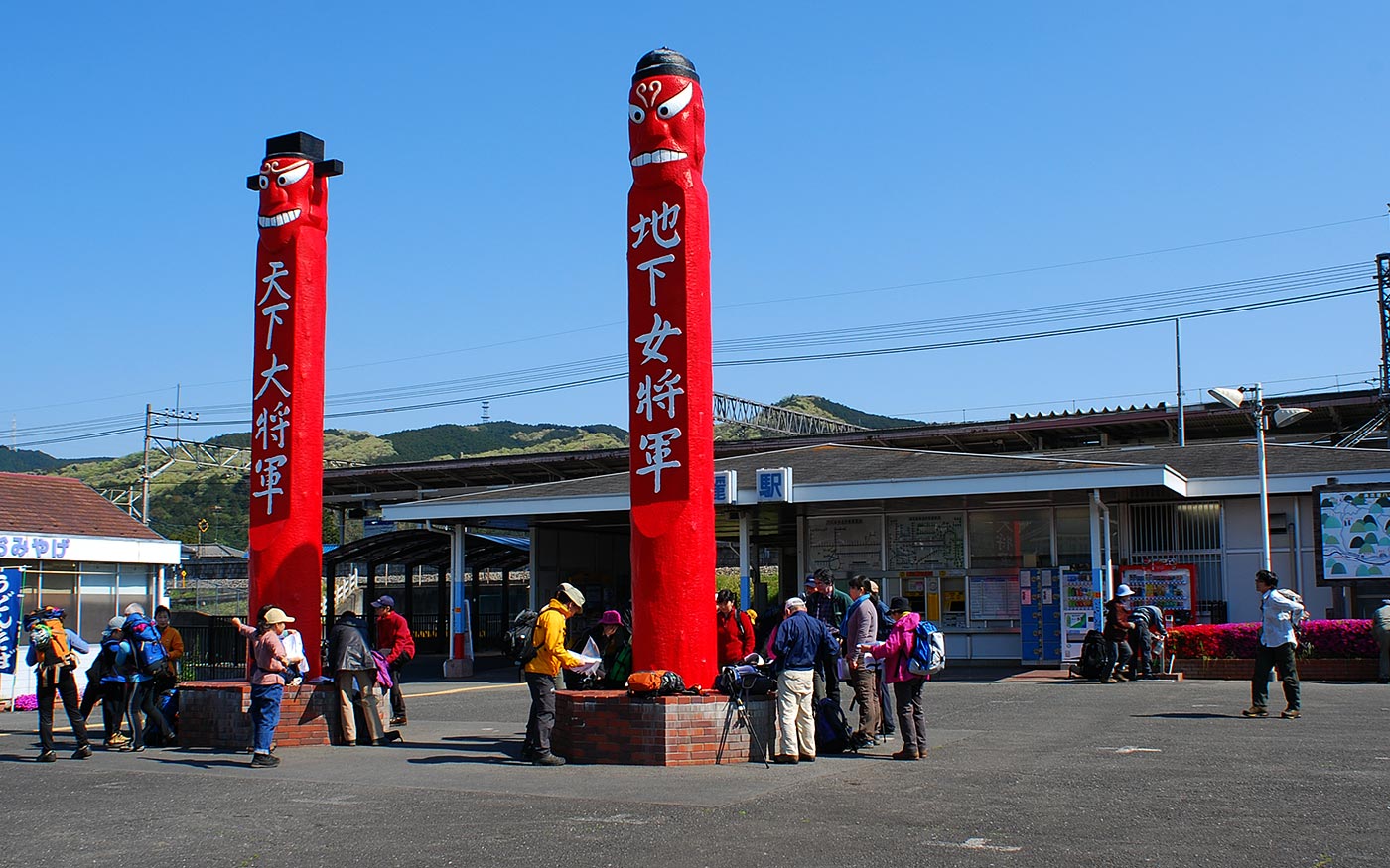
・Koma area has been a district where many people from Korean peninsula lived since 1,300 years ago. Just outside the ticket gate of Koma station, there are a pair of jangseung, Korean totem poles. In Korea, they are traditionally placed at the edges of villages as marks for village boundaries and frighten away demons.
・To the right along the way to the trailhead of Mt. Hiwada is a vast field of Kinchakuda. This field is famous for tremendous number of spider lily flowers in the early autumn. In spring, the field is fringed with cherry blossom trees along the riverbank.
Trail Description
To Mt Hiwada
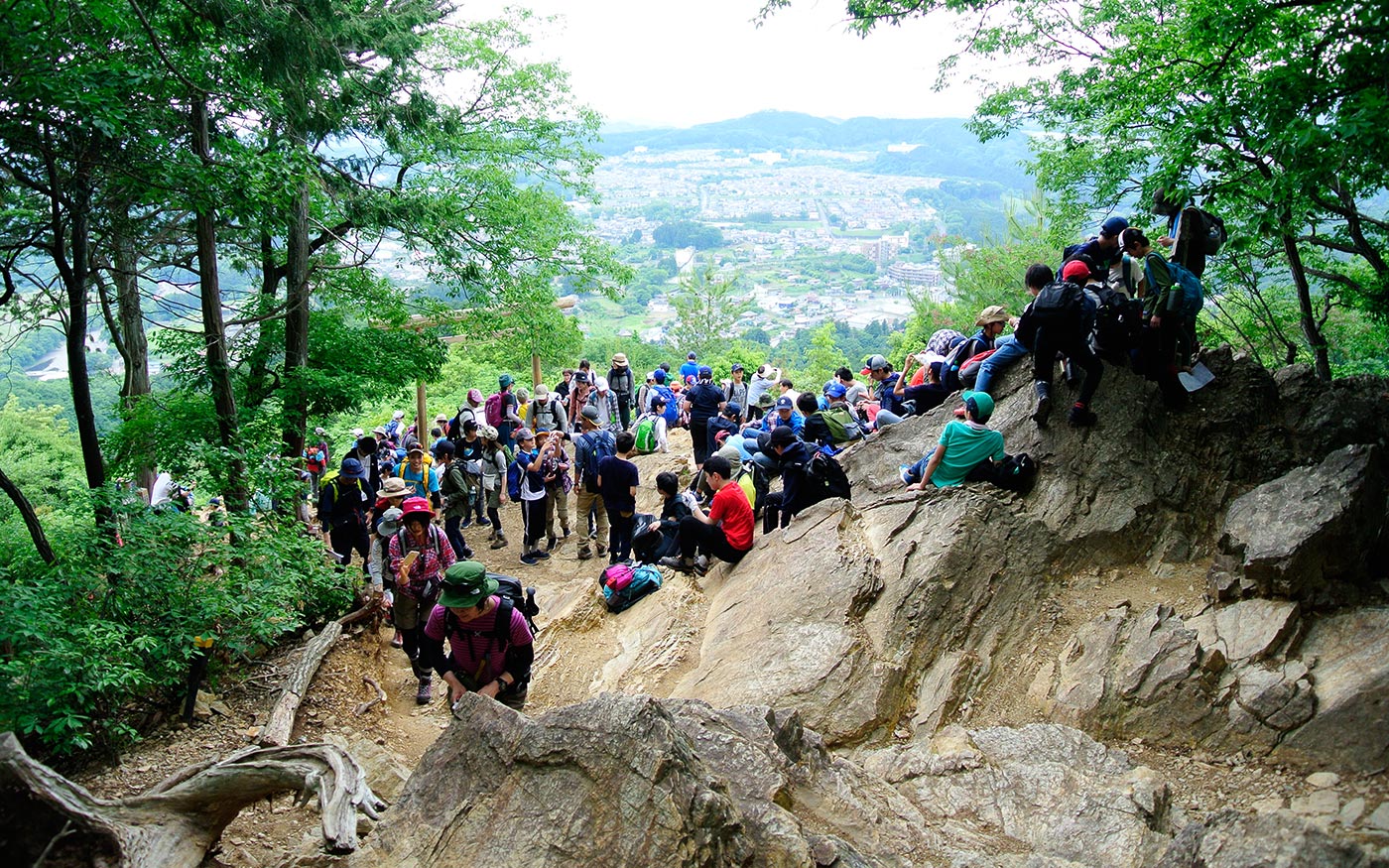
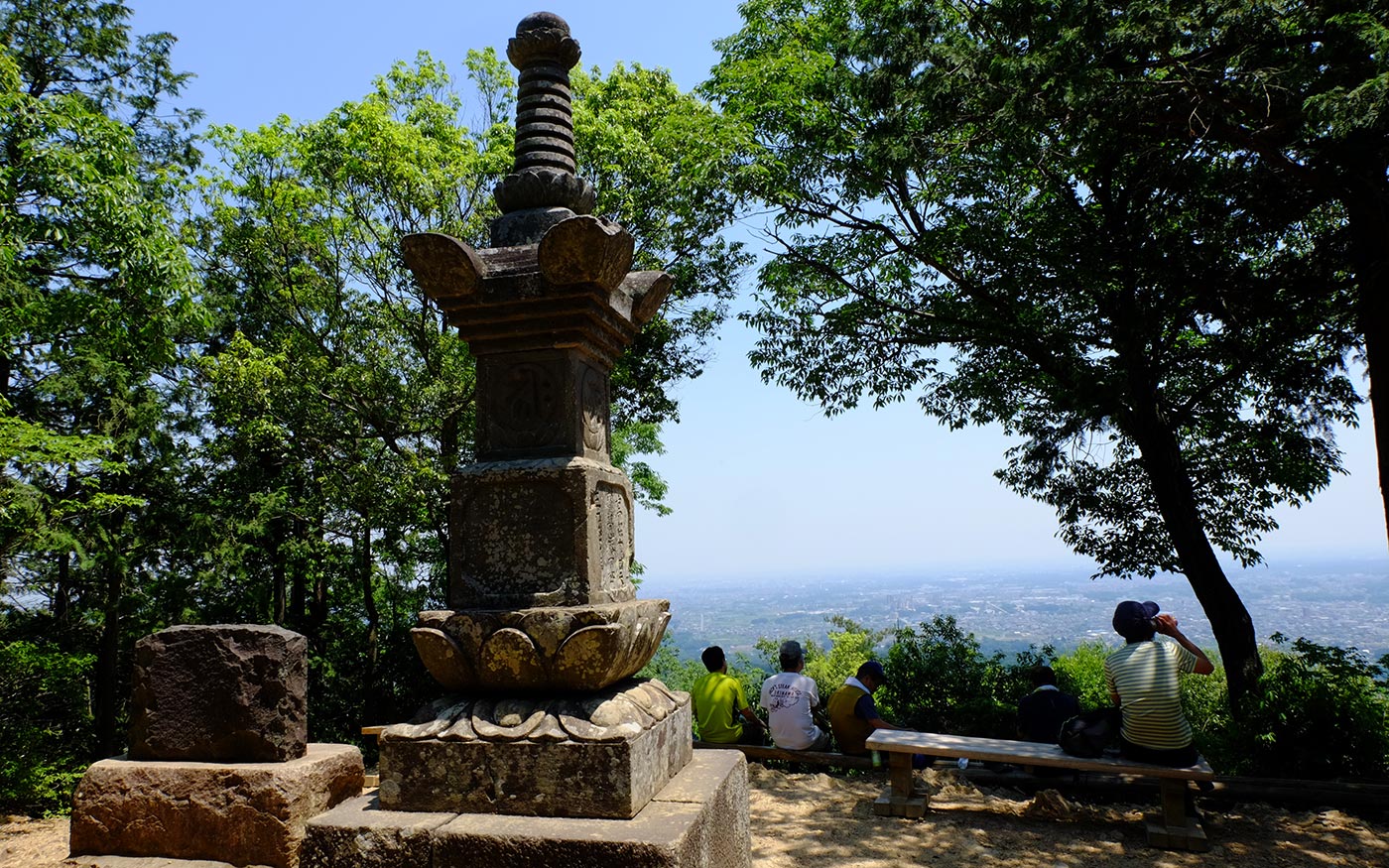
Mt. Hiwada is located right in the north of Koma station. From Koma station, take the passage by the restroom and cross the train tracks. Then cross the Route 299 and proceed the walkway for a while. Turn left at the traffic light beyond the Rokudai Bridge. There is a Seven-Eleven convenience store around the corner. After a 200-meter-walk, take a country road that forks left. Soon you will reach the trailhead to Mt. Hiwada. After ascending a slope for a while, you will come to a torii gate. Here the trail diverges into Otoko-saka (Men’s slope) and Onnna-saka (Women’s slope). Men’s slope is a steep and rugged hill climb. Women’s slope is an easy trail that skirts around the mountain. Either way will take you to the halfway up the hill where another torii gate and Kotohira jinja shrine stand. This is a nice spot for a short break. On sunny days Mt. Fuji comes into view over the mountain ridges of Okumusashi and Okutama. Another short climb from here will take you to the hilltop of Mt. Hiwada.
To Mt. Monomi
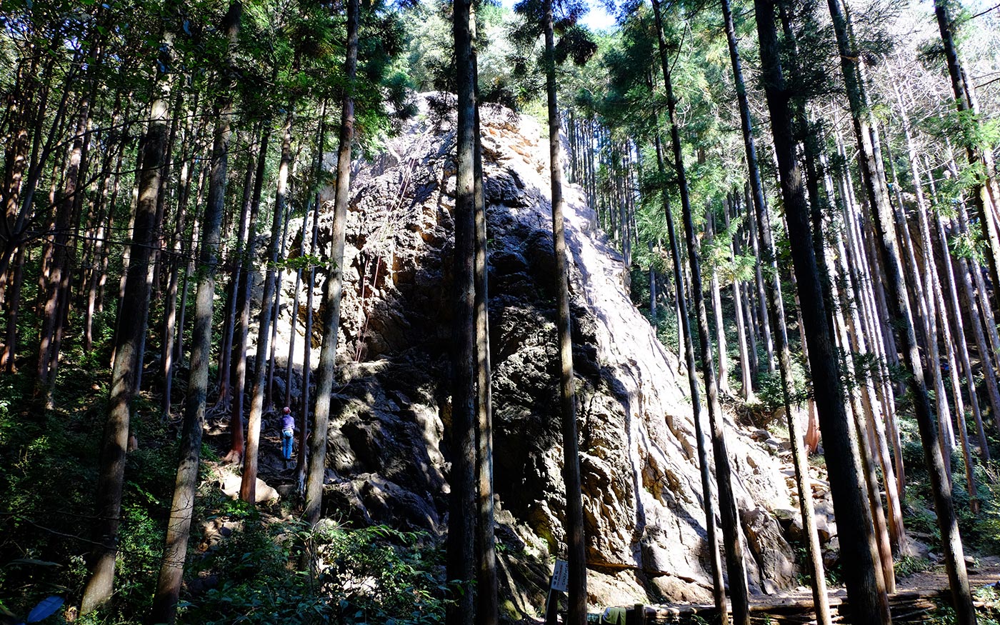
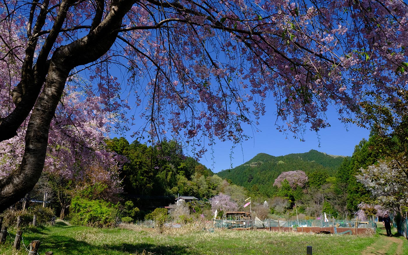
The trail to Mt. Monomi is an easy one along the Okumusashi Nature Trail except the descent from Mt. Hiwada. Half way down the route to Mt. Monomi, the trail meets a paved road. There is a radio station tower on the hilltop on your right. You will soon find a restroom, a shop and a vending machine. About a hundred meters down the road from here, fork right to enter the trail to Mt. Monomi. In the Edo period (1600-1868), the high quality timber of this area called Nishikawa-zai was very popular and brought to Edo (present Tokyo) by river. Since then the woods here have been well taken care of. A short walk in the woods will take you to the peak of Mt. Monomi. There is a junction just at the foot of the mountain. Fork right here to the mountain top. The trail to the left skirts the mountain to Kitamuki Jizo.
To Kitamuki Jizo (North-facing Jizo statues)
The hike from Mt. Monomi to Kitamuki Jizo is a pleasant mountain walk of about 40 minutes in the beautiful woods. The routes to Kitamuki Jizo are easy and hikers can basically go straight along the trails. At the junction 200 meters from the mountain top, fork left to Kitamuki Jizo. Then after 20 minutes of walking from Mt. Monomi fork right to Kitamuki Jizo. This is the only junction that you should be careful. Jizo statues are guardians of children and travelers. Roadside statues of Jizo are a common sight in Japan. Since the south is regarded as an auspicious direction, most shrines, temples and Jizo statues stand facing south while Kitamuki Jizo statues are facing north. In the end of the 18th century, when people were suffering from a series of famine and epidemics, these Jizo statues were branched from a famous temple in Tochigi prefecture located in the north to alleviate the feeling of hunger and pain. They are intentionally placed facing north to pay respect to the original temple.
To Yugate
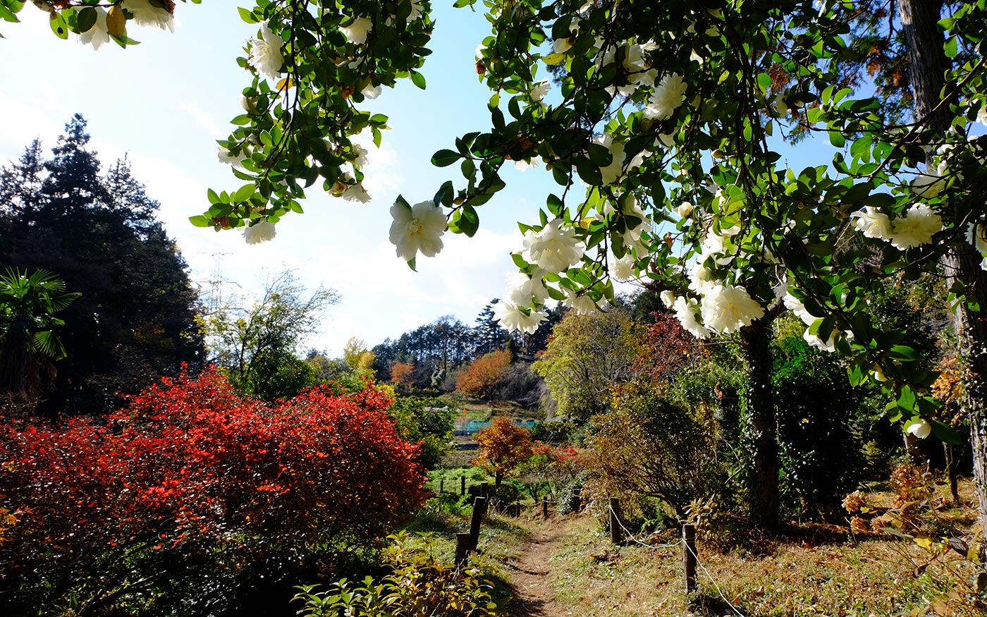
To head for Yugate, hikers should fork right at the junction right across the road in front of Kitamuki Jizo. After a short descent, fork right again. When you come to a bamboo forest, you have almost reached Yugate. Yugate is a small mountainside village where a couple of families live in a pastoral life. Surrounded by farmland and flowers, this peaceful village has a nickname of “an Arcadia of Okumusashi.”
To Higashi-Agano station
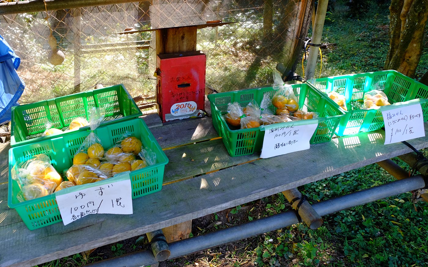
To continue on to Higashi-Agano station, hikers should proceed straight toward Mt. Hashimoto. While there are some steep slopes, the route through this section is generally easy to walk. After 20 minutes of walking you will arrive at Mt. Hashimoto where you can enjoy a panoramic view of mountain ridges. The descent from the hilltop starts with switchbacks of steep slope, but generally an easy trail ahead. You will then come to a junction and you should go straight to head for Agano Shrine. The trail forking right can also take you to Agano station via Fukutokuji Temple. Once you walk down the stone steps of Agano shrine, turn right at the road and cross the bridge ahead to get to Higashi-Agano station.
Translator: Shuji Ozaki Author: Toru Sasaki
