6. Mt. Tsutsuji and Kanhasshu Miharashidai Overlook Trail (ツツジ山・関八州見晴台)
Trail Location: Start: Shomaru station, Seibu Chichibu line Goal: Nishi-Agano station, Seibu Chichibu line Access From Tokyo, take an express train or a limited express train on the Seibu Ikebukuro line at Ikebukuro to Hanno. From there, take the Seibu Chichibu line to Shomaru station. The trip takes 80 to 90 minutes. To return to Tokyo, take the Seibu Chichibu line at Nishi-Agano station to Hanno station. From there, take the Seibu Ikebukuro line to Ikebukuro station.
Total Length: 16.7km
Course Time: 7 hours
Elevation Difference: 634m
Difficulty Rating: 4 (strenuous)
Difficulty ratings: (1) beginner, (2) easy, (3) moderate, (4) strenuous
Trail Features
・The route from Shomaru station to Mt. Tsutsuji is tricky. There are few marks (in Japanese, if any) along the way and the trail to Mt. Tsutsuji is quite steep and slippery. Hikers should have map reading skills in addition to physical strength.
・Once you come to the peak of Mt. Tsutsuji, the trail to Kanhasshu Miharashidai Overlook is fairly easy and comfortable along Kanto Fureai Trail (Kanto Region Natural Trail). Kanto Fureai Trail, stretching 1,800 km around the Kanto area, is a collection of hiking trails starting and ending at the foot of Mt. Takao in Tokyo. A large number of routes are laid out to cover natural scenery and pastoral landscapes, as well as cultural and historical sites.
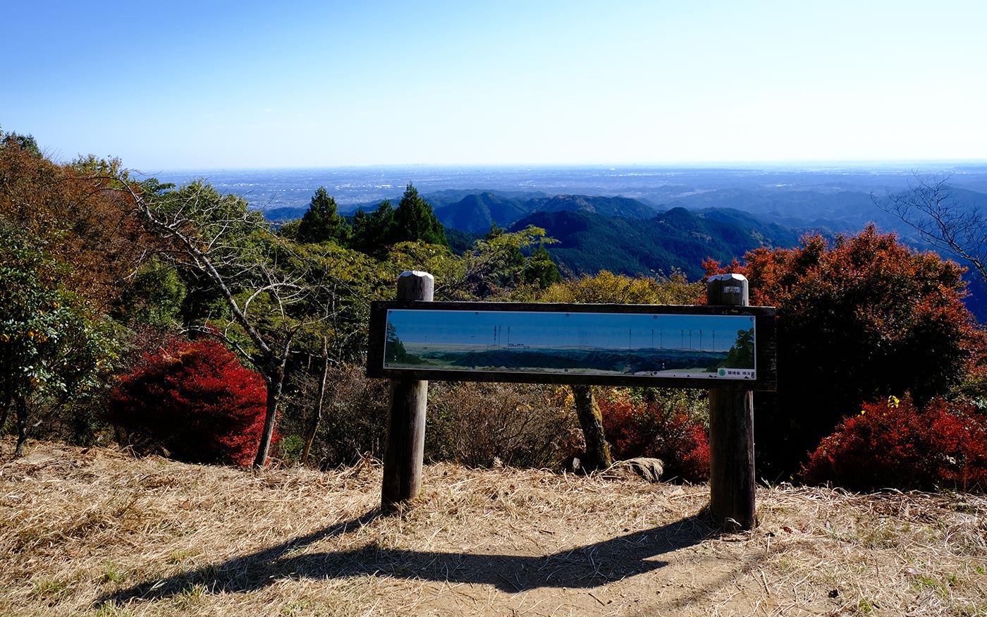
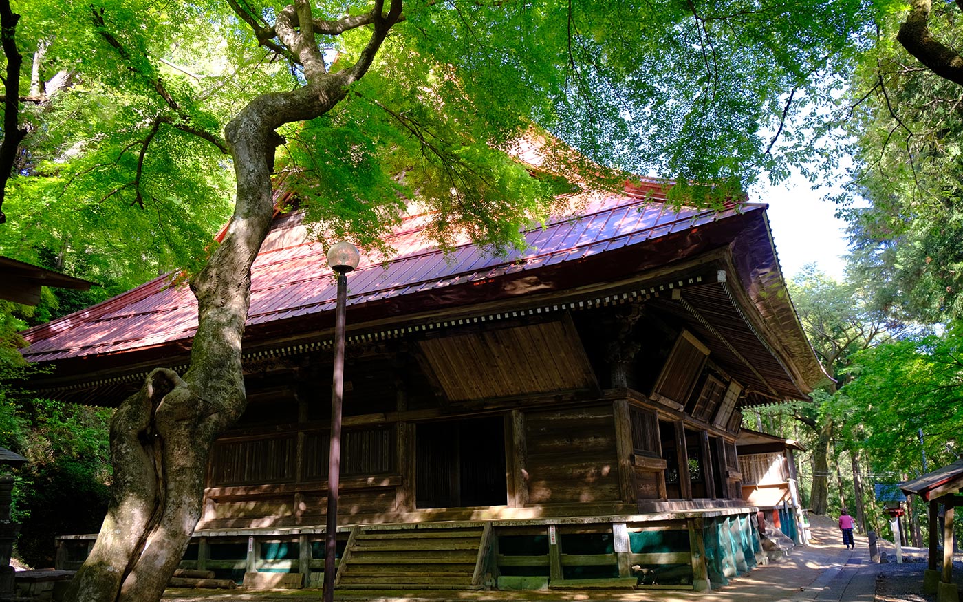
・Takayama Fudoson Temple is a historic temple of esoteric Buddhism. Autumn foliage around here most beautiful in the middle of November. Leaves of a tall gingko tree of over 800 years old turn yellow around the end November to early December. Also amazing are panoramic views and beautiful wildflowers in Kanhasshu Miharashidai Overlook. Azalea flowers clustered around there start blooming at end April and become full bloom in early May.
Trail Description
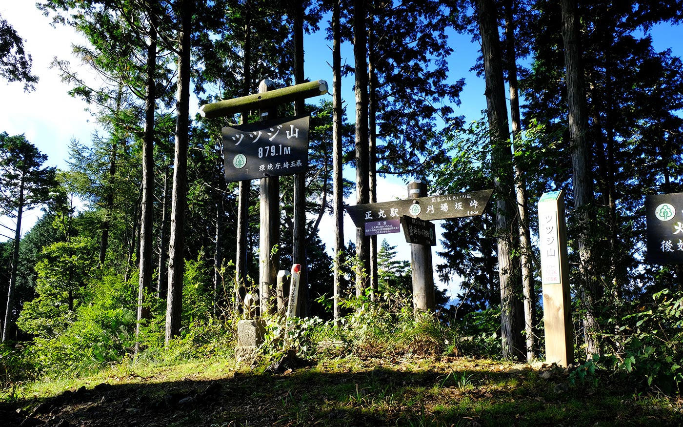
To Mt. Tsutsuji
After crossing a bridge in front of Shomaru station, make a left turn and walk along Route 299 for about 1 km. You will find a monument standing in an open space on your left and an ascending country road on your right a little ahead. Follow this country road for 500 meters until you come to a trailhead. The trail switchbacks along a steep slope of mountain. Beyond Mitakubo Pass, the trail continues north along a ridge alternating a dirt forest road in some places. Soon the climb becomes progressively steeper and slippery. This is the toughest section on this course. In about an hour and a half from Mitakubo Pass, you will arrive at the peak of Mt. Ko-Tsutsuji. From there it is a short walk to Mt. Tsutsuji.
To Kanhasshu Miharashidai Overlook
From Mt. Tsutsuji, you can have clear views toward Kanhasshu Miharashidai. Follow Kanto Fureai Trail (Kanto Region Natural Trail) that runs along and meets several times with Okumusashi Green Line road. After passing through Buna Pass and Iimori Pass, both the trail and the road will hit Kanhasshu Miharashidai Overlook. “Kanhasshu” means “8 provinces in Kanto area” corresponding to 7 prefectures of Tokyo, Saitama, Kanagawa, Chiba, Gunma, Tochigi and Ibaraki. This area was so called during the Edo period (1603-1867). On sunny days, landscapes of all these areas will come into view from this overlook.
Takayama Fudoson temple
From the overlook to Takayama Fudoson temple is a short descent. This trail will be tunnel-like with flowers when red blossoms of clustered azaleas are in full bloom in spring. Takayama Fudoson Temple, a historic temple of esoteric Buddhism founded in 654, has long been a practice site for Yamabushi, those who obtain spiritual experience and power through training in the deep mountains. At the bottom of stone steps is a tall gingko tree which is said to be over 800 years old. Leaves will turn yellow around end November to early December. Autumn foliage around here most beautiful in mid Nov.
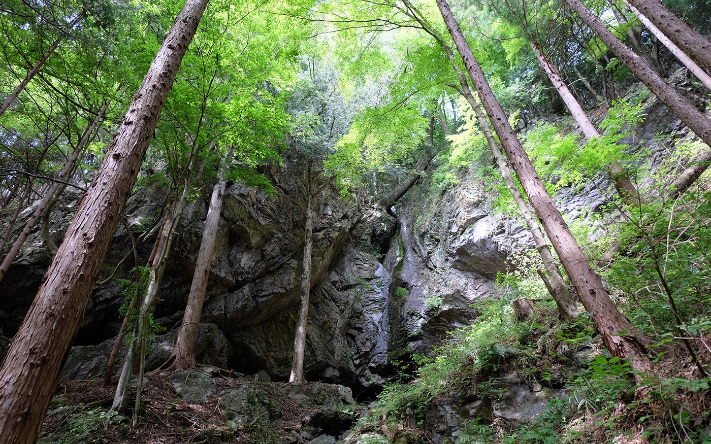
To Three Waterfalls and Nishi-Agano station
From Takayama Fudoson temple, follow a trail to northwest. In about 200 meters, fork right toward 3 waterfalls (Shirotaki falls, Otaki falls and Fudo falls). The paths to these falls are a bit tricky. There are many direction signs in Japanese to the falls, but some of them are not correct. You may need to check with your map and compass to find correct routes.
Now, after visiting waterfalls, let’s head for the station. Once the trail hit a country road, turn left to Nishi-Agano station which is about 2 km away. About half way to the station, you will hit a small river. Turn left again and follow the road along the river.
Translator: Shuji Ozaki Author: Toru Sasaki