15. Mt. Buko Trail (武甲山)
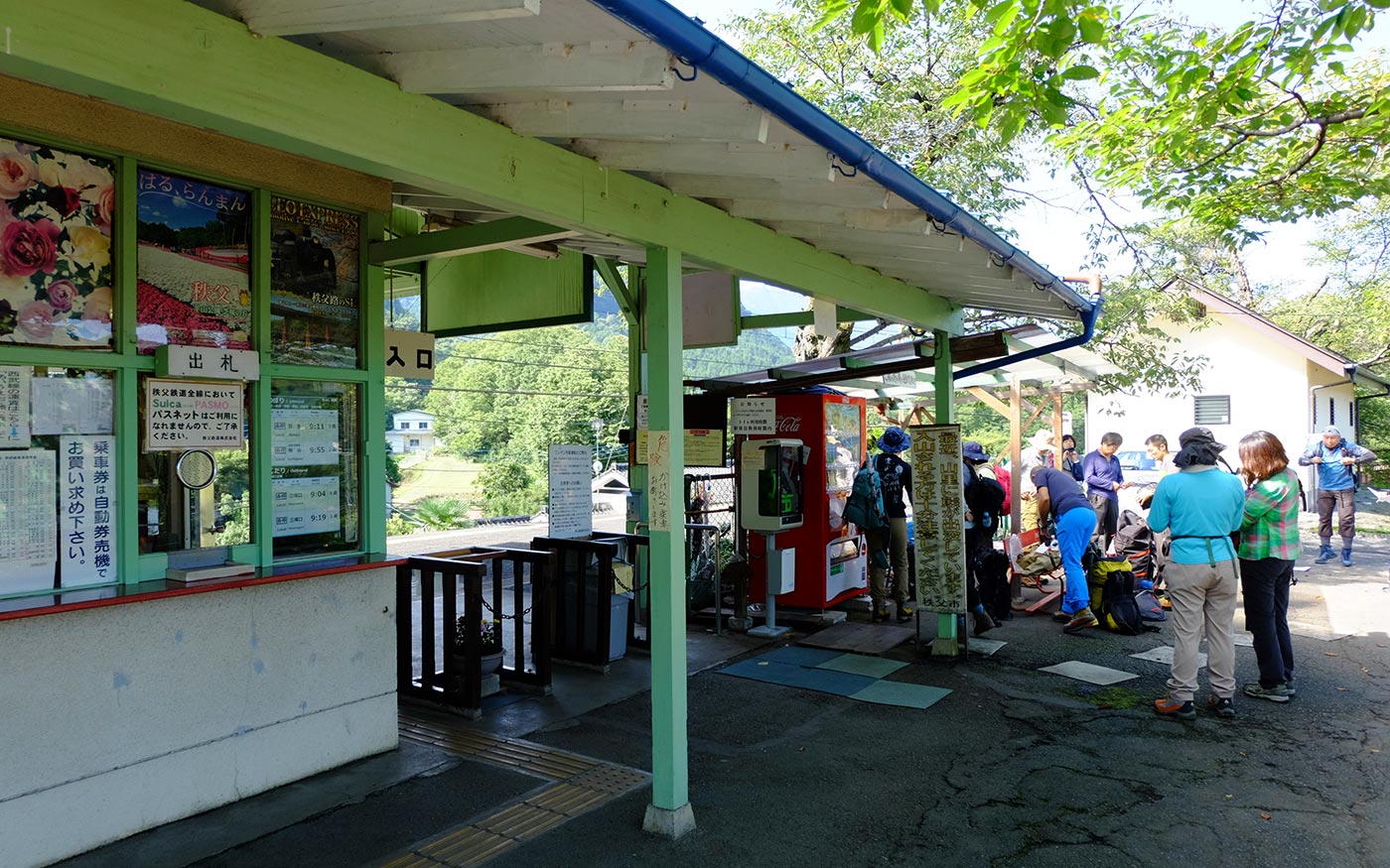
Trail Location: Start: Urayamaguchi Station, Chichibu Railway
Goal: Yokoze station, Seibu Chichibu line
Access From Tokyo, take an express train or a limited express train on the Seibu Ikebukuro line at Ikebukuro to Seibu Chichibu station. From there, walk to Ohanabatake station and take the Chichibu Railway to Urayamaguchi station. The trip takes 100 to 120 minutes.
To return to Tokyo, take the Seibu Chichibu line at Yokoze station to Hanno station. From there, take the Seibu Ikebukuro line to Ikebukuro station.
Total Length: 16.9 km
Course Time: 7 hours and 20 minutes
Elevation Difference: 1,054m
Difficulty Rating: 4 (strenuous)
* Difficulty ratings: (1)beginner, (2) easy, (3) moderate, (4) strenuous
Trail Features
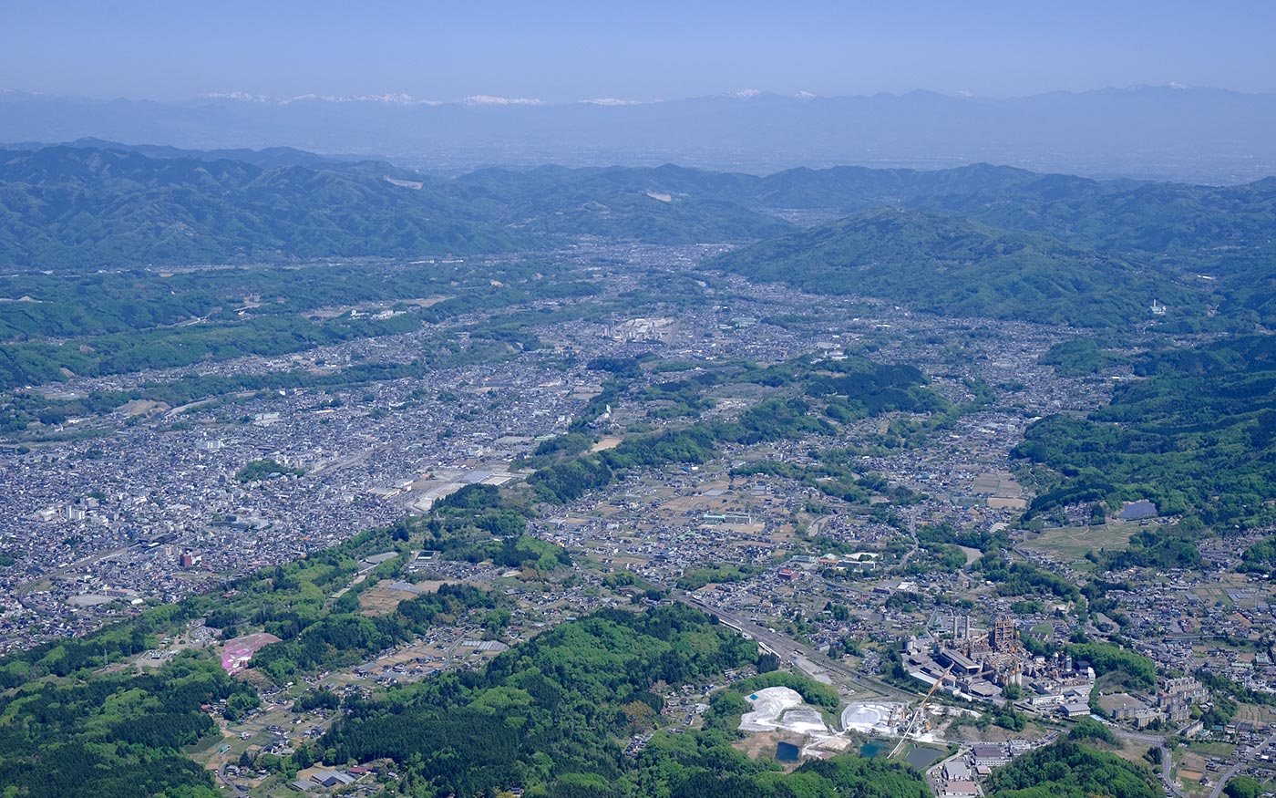
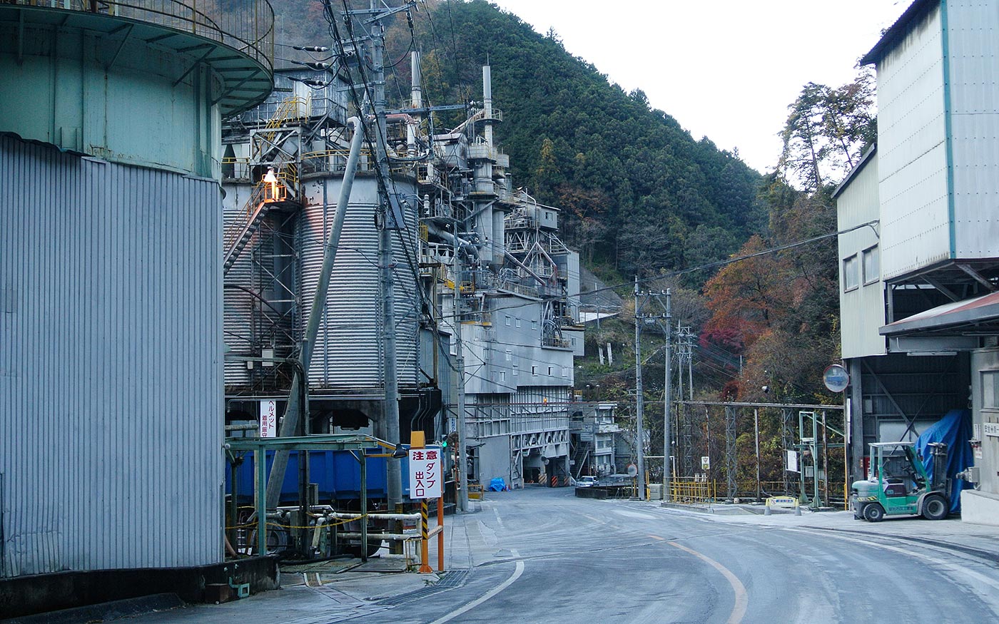
・Mt. Buko, a majestic mountain sitting in front of downtown Chichibu, has been worshipped as a sacred mountain. Unfortunately the northern side of the mountain has been deformed by being excavated as materials for cement.
・Chichibu Night Festival in early December is held to give thanks to kami of Mt. Buko for the year’s harvest. The festival has a history of over 300 years and was added to the UNESCO Intangible World Cultural Heritage list in 2016.
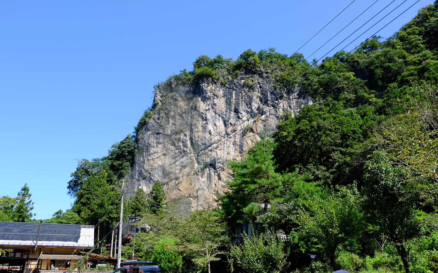
・After a short walk from Urayamaguchi station, you will pass by Hashidatedo Temple, one of 34 temples of Chichibu Pilgrimage. The main building of the temple stands by an 80-meter high rock face. There is a 130-meter long limestone cave by the temple which visitors can explore. Adjacent to the temple is a noddle shop, Hanitsu-en where tasty soba are served. It also has an in-house pottery kiln and visitors can experience making their own tea bowls too.
Trail Description
To Trailhead of Mt. Buko
After a short walk from Urayamaguchi station, you will pass by Hashidatedo temple, one of the most popular sightseeing spots in Chichibu area. You may wish to drop by there to pray for a safe hike or explore a limestone cave or have tasty soba at a neighboring noodle shop. From there, follow a country road for about 2 km to come to a trailhead.
To the summit of Mt. Buko
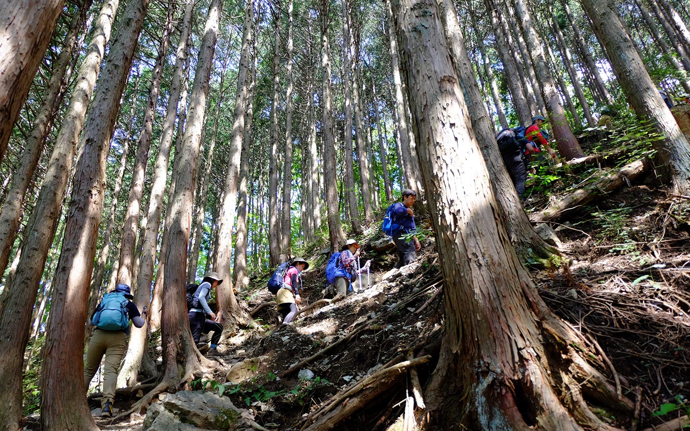
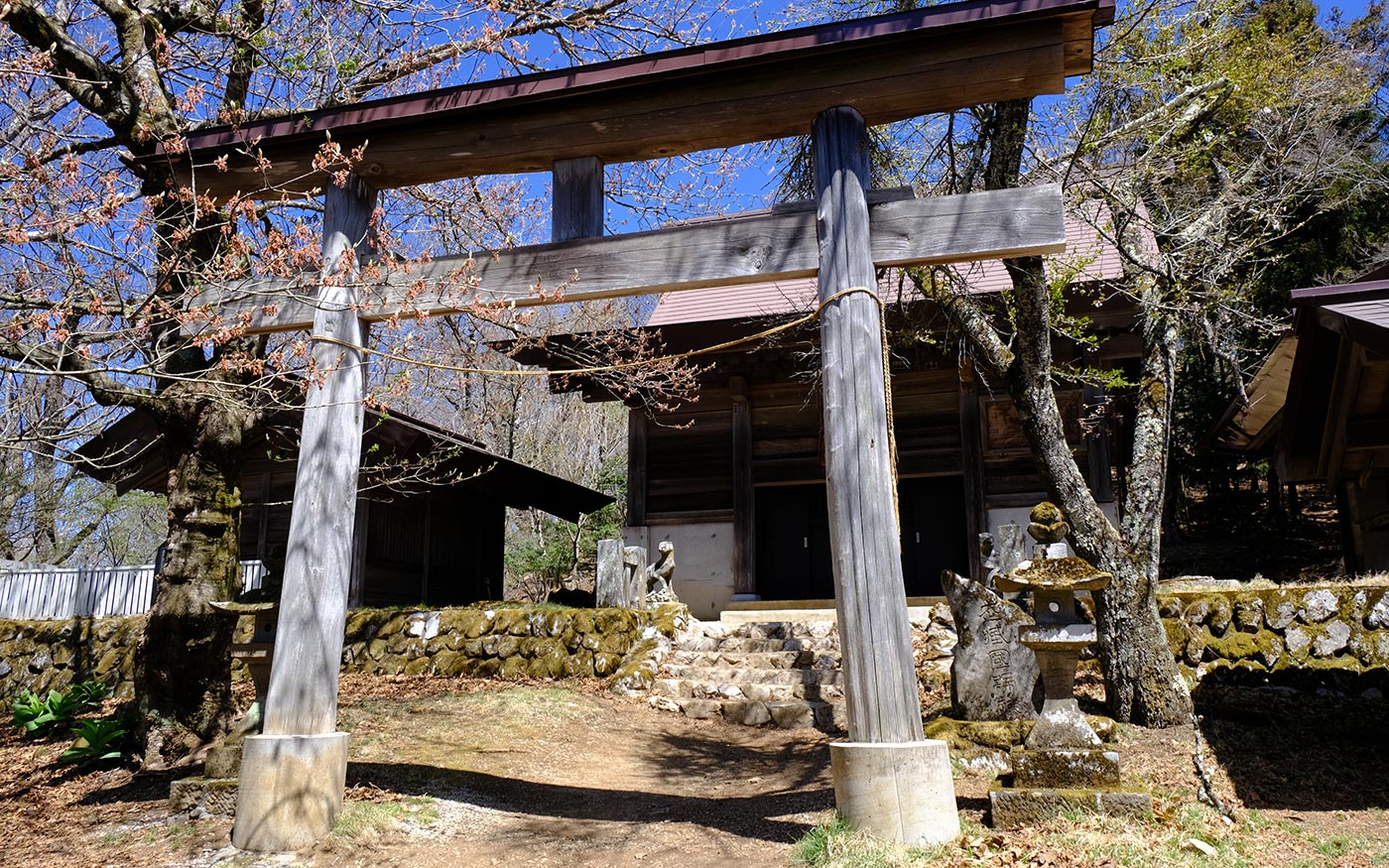
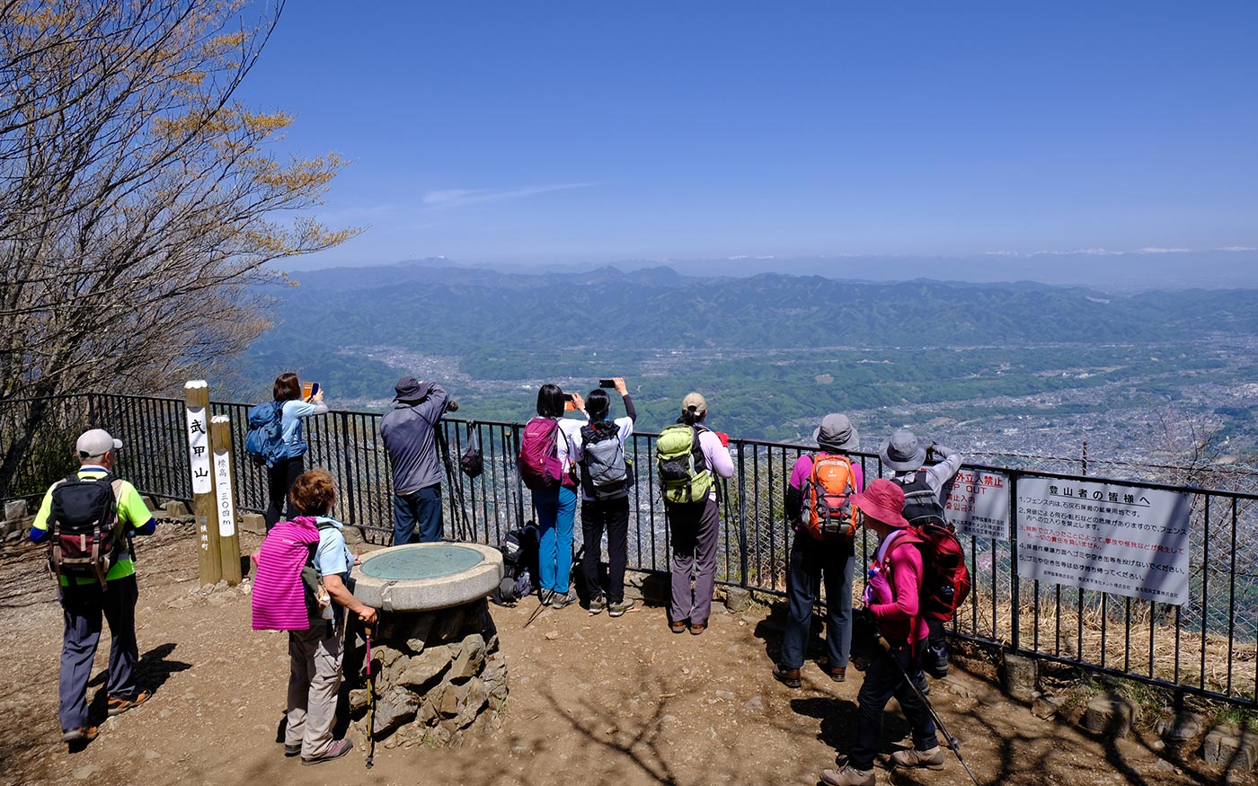
The route to the summit starts by crossing a stream. For a while, the trail is a gentle slope that runs along a stream with beautiful scenery. Soon the trail turns into steep climbs with repeated switchbacks. Just go straight ahead as there are no forks and the chance of missing the route is very little. After about 2 hours of walking in the woods, you will hit a junction. Fork left there and follow the trail to the summit. It’s just about 10 minutes. From the summit you can have panoramic views of downtown Chichibu right in front. On sunny days, mountains in the northern part of Kanto such as Mt. Asama, Mt. Tanigawa and Mt. Akagi will come into view.
To the Ichi-no-Torii Gate
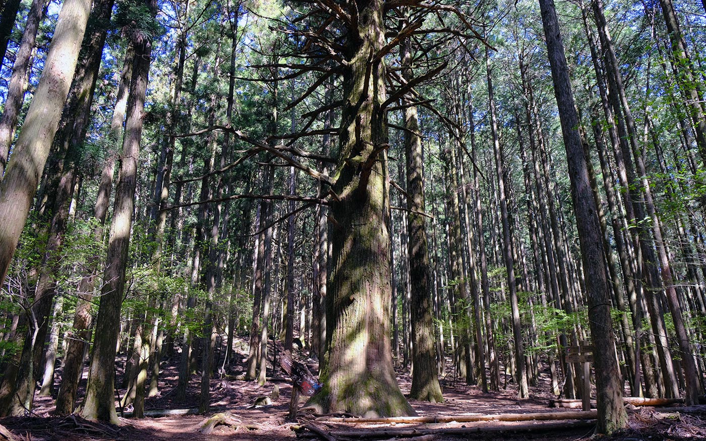
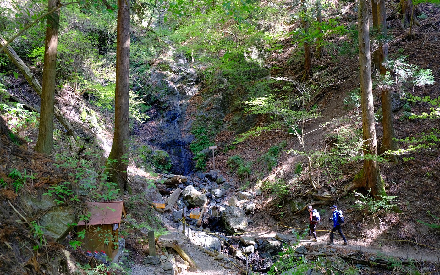
After a short break at the summit, follow the Omotesando (the front approach) path to descend. The route to the Ichi-no-Torii Gate at the foot of Mt. Buko runs in the woods of cedar trees. The route is divided into 52 stages which are marked on stone posts. It helps you to learn how far you have come down. When you hit Fudo waterfalls at the18th stage, the trail will soon meet a forest road along a stream. Follow the forest road which leads you to a parking lot. The Ichi-no-Torii Gate is just ahead.

To Yokoze Station
To get to Yokoze station, you have to walk 5 km on road. This section is boring with nothing spectacular along the way. You may find it a consolation that the road is a gentle downward slope for most of the way. Just before the train tracks, you should fork left and follow the road along the train tracks. Soon you will find a statue of Enmei-Jizo (literally, a life-prolonging jizo) housed in a roadside shelter. Since there are several cement factories along the road, beware that there are quite a few number of trucks running on weekdays. When the road passes under the train tracks, you are almost at Yokoze station.
Translator: Shuji Ozaki Author: Toru Sasaki
