10. Mt. Bonomine and Shirayazawa Valley Trail (棒ノ嶺・白谷沢)
Trail Location: Start: Sawarabi-no-yu Bus Stop
Goal: Sawarabi-no-yu Bus Stop
Access From Tokyo, take an express train or a limited express train on the Seibu Ikebukuro line at Ikebukuro to Hanno. The trip takes 40 to 50 minutes. Then take a bus to Nago at Hanno station and get off at the Sawarabi-no-yu bus stop. The trip takes about 40 minutes.
To return to Tokyo, take a bus at Sawarabi-no-yu bus stop to Hanno station. From there, take the Seibu Ikebukuro line to Ikebukuro station.
Total Length: 9.4 km
Course Time: 5 hours
Elevation Difference: 719m
Difficulty Rating: 3 (moderate)
* Difficulty ratings: (1)beginner, (2) easy, (3) moderate, (4) strenuous
Trail Features
・Located at the border of Tokyo and Saitama prefecture, Mt. Bonomine is also called as Bo-no-ore-yama. According to one of the views on the origin of the name, in this mountain the stick of a famous samurai general of this province got broken while climbing (literally, “bo-no-ore-yama”).
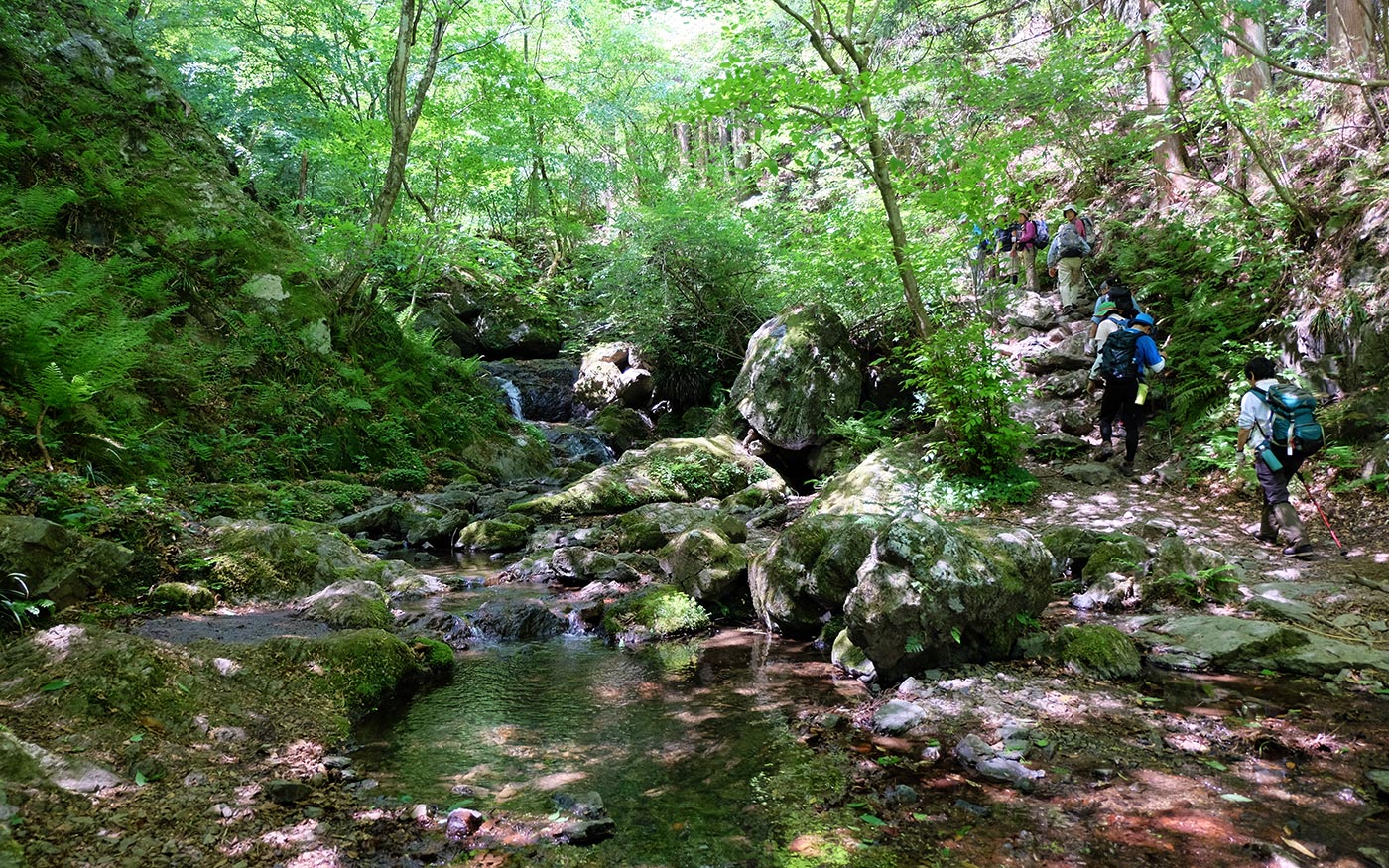
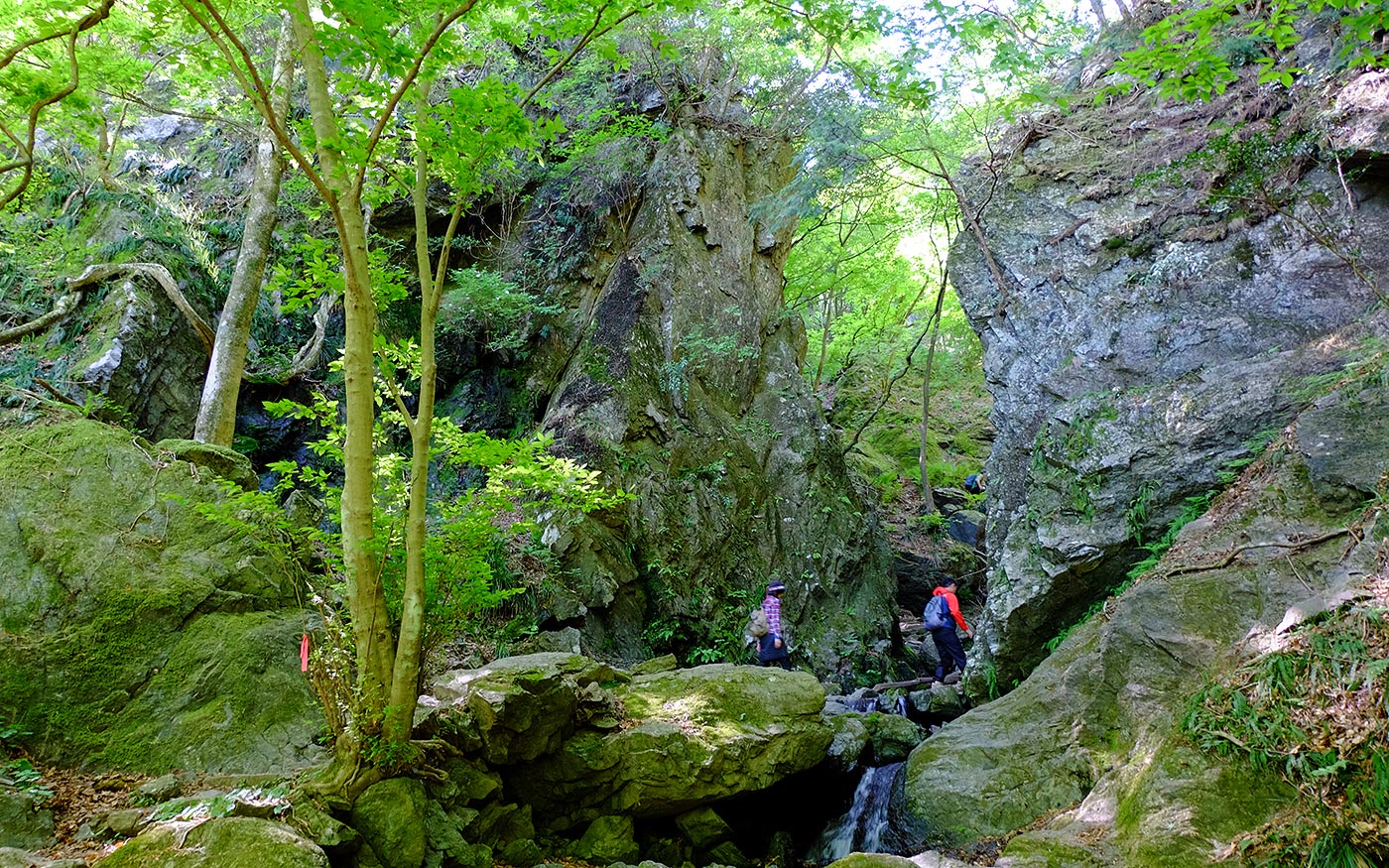
・To get to the summit of Mt. Bonomine, hikers should follow the Shirayazawa valley trail, the highlight of this route. The Shirayazawa valley is a beautiful area with waterfalls, and above all, a grand gorge which you could rarely find in other places near Tokyo.
・This route is a part of Kanto Fureai Trails and well maintained for hikers. Normally, the route is easy for hikers of all levels, but after heavy rain or during the winter, the stream might be rising or frozen and become dangerous.
Trail Description
To Iwatakeishi Boulder
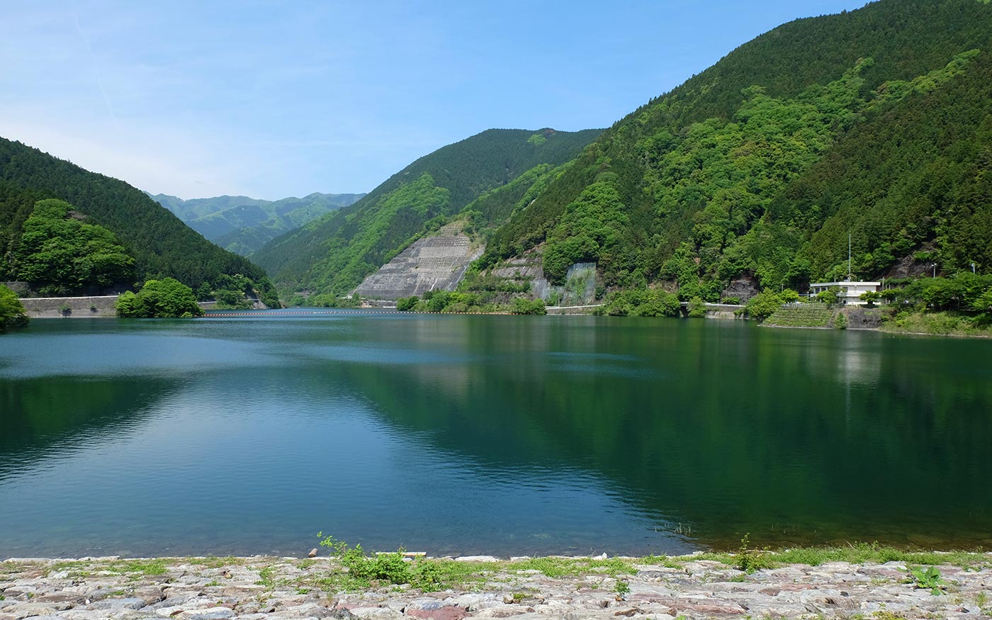
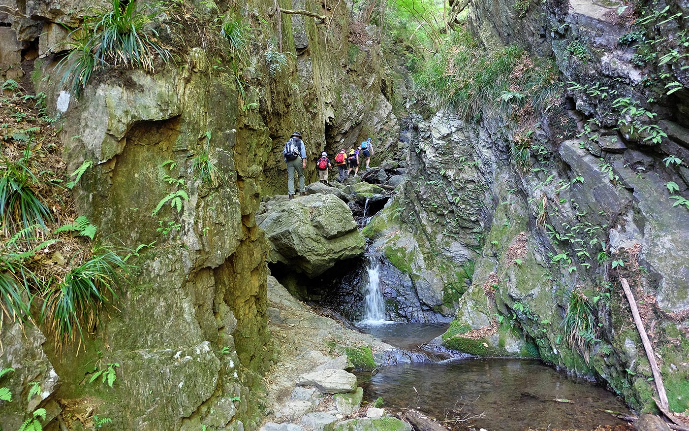
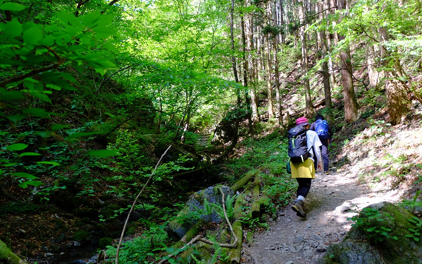
From Sawarabi-no-yu bus stop, head for Lake Naguri. After a short walk, turn left to cross Arima dam and a bridge to get to the trailhead of the Shirayazawa valley. Follow the trail along a stream that will take you to Fujikake waterfalls. The trail continues in the valley alternating both sides of the stream. You will soon come to a gorge, the highlight of this route where the trail is sandwiched by tall rock walls. As you proceed, the trail becomes steeper and in some sections rock steps are built into the rocky terrain. You will soon hit Tengu falls and Shiro-kujaku (a white peacock) falls. There are some steep sections where you will climb grabbing chains.
After these waterfalls and steps of wooden logs that follow, you will soon hit a forest road. It is a nice place to have a short break. Then after a short steep climb, the route veers left and soon comes to a mountain ridge at Iwatakeishi boulder.
To Mt. Bonomine
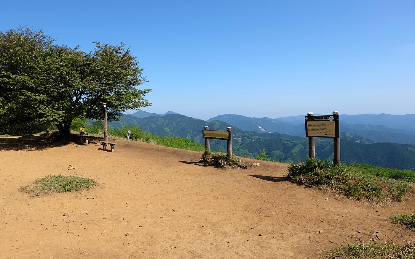
After a fairly steep ascent, fork right at Gonjiri Pass to head for the summit of Mt. Bonomine. The summit is quite spacious with spectacular views of mountains in Okumusashi such as Mt. Takekawa, Mt. Warabi and Mt. Izugadake as you look toward the north.

To Sawarabi-no-yu Bus Stop
To get back to Sawarabi-no-yu, take the same route you have come to Iwatakeishi boulder. If you fork right at Gonjiri Pass, the route will take you to Mt. Iwatakeishi. Don’t get confused as Mt. Iwatakeishi is 3 to 4 km away and one of Takamizu Sanzan (3 mountain in Takamizu), a popular hiking route in Okutama area.
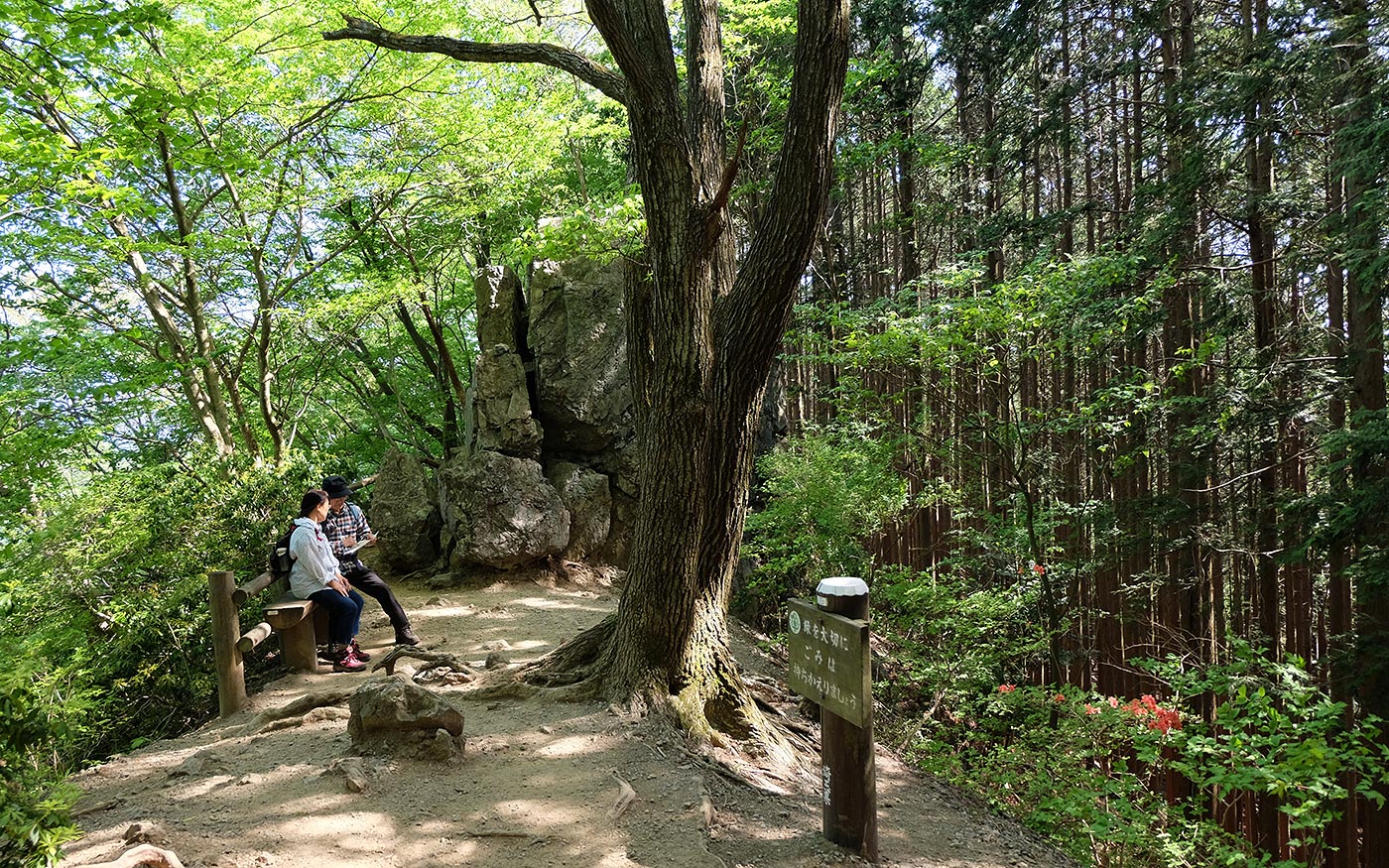
At Iwatakekishi boulder, go straight along the mountain ridge. The trail to the left is the one you have come; the trail to the right will take you to Naguri-gawa bridge bus stop, 1.5km south of the goal.
Along the way, the trail crosses forest roads a couple of times. As long as you follow signposts directing toward Kawamata or Sawarabi-no-yu, you will not get lost. The descent from Iwatakeishi boulder to the goal will not take more than one hour and a half.
Translator: Shuji Ozaki Author: Toru Sasaki