14. Lake Kamakita and Shukuya Waterfalls Trail (鎌北湖、宿谷の滝)
Trail Location: Start: Moro station, JR Hachiko line
Goal: Musashiyokote station, Seibu Chichibu line
Access From Tokyo, take an express train on the Tobu Tojo line at Ikebukuro station to Sakado station and change trains to the Tobu Ogose line to Ogose station. From there, take the JR Hachiko line to Moro station. The trip takes about 90 minutes.
To return to Tokyo, take the Seibu Chichibu line at Musashiyokote station to Hannno station. From there, take the Seibu Ikebukuro line to Ikebukuro station.
Total Length: 11.9km
Course Time: 4 hours and 20 minutes
Elevation Difference: 292m
Difficulty Rating: 2 (easy)
Difficulty ratings: (1) beginner, (2) easy, (3) moderate, (4) strenuous
Trail Features
・Beautiful and peaceful “Satoyama” countryside scenery along Oyagi River on the way from Moro station to Lake Kamakita.
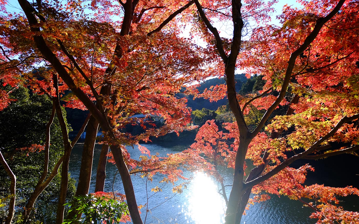
・Lake Kamakita boasts breathtaking views of cherry blossom trees in full bloom along the lake bank in the springtime and a mirror-like surface of the lake reflecting the autumn foliage.
・On chilly days, the mountains are wrapped in mist, creating a mystical atmosphere typical in Okumusashi area.
・At Izumoiwai shrine, 500 meters east of Moro station, Yabusame is held on the second Sunday of March and November 11th. Yabusame is the art of shooting arrows on horseback performed by Samurai warriors to improve their skills in a battle. It has been held at Izumoiwai shrine since 1,000 years ago.
Trail Description
To Lake Kamakita
From Moro station, walk to the south to head for Lake Kamakita. After a 100-meter walk on Route 30, take a road that forks right at “the Kamakitako Iriguchi (Entrance to Lake Kamakita)” intersection. You will soon find a farmer’s market down the road where local specialties are available. From autumn to winter, chestnuts and yuzu citrons are most popular here among various kinds of fresh vegetables and fruits of the season. Right after the farmer’s market, take a country road that forks left. While enjoying a peaceful “Satoyama” scenery along the Oyagi River for about 45 minutes, you will reach Lake Kamakita.
To Shukuya Waterfall
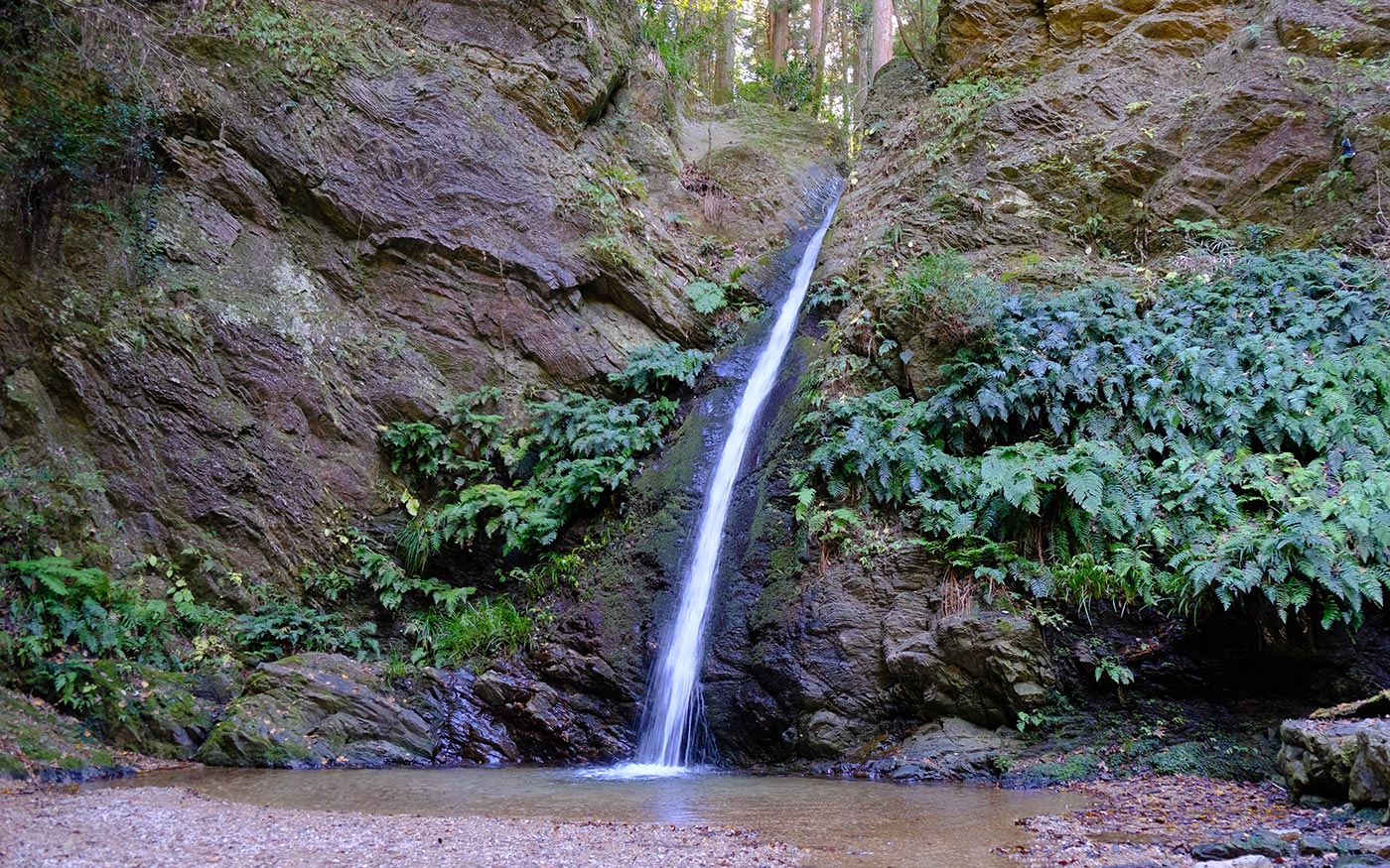
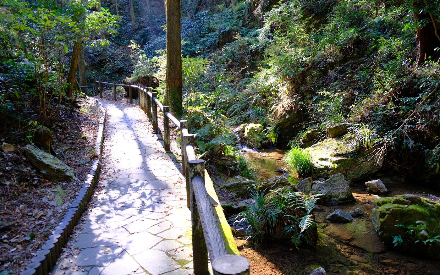
The trail to Shukuya Waterfall begins with steep steps at the back of a parking lot No.1 at the southeast corner of Lake Kamakita. After walking in the woods for about 30 minutes, continue along a paved road for about 200 meters, then enter the trail on the left. You will shortly find steps leading down to the waterfall. Be careful that the stone steps are very slippery when they are wet. The depth of waterfall basin is not more than up to your waist. It might be a fun to stand right under the waterfall and let the water hit on your head with mighty splash, if you were so inclined.
To Mt. Monomi
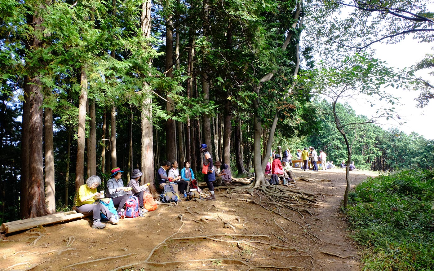
Now go along the trail that parallels a stream to head for Mt. Monomi. After walking in the woods for a while and past small falls (Shukuya Kotaki) on your left, the trail becomes a steep and slippery climb along a ridge. This is the toughest section in this course. Suddenly you come to an open area on top of the slope to find the climb was very rewarding. The views over a valley are simply amazing. From here a short walk in the woods will take you to a junction. Fork left here to the peak of Mt. Monomi.
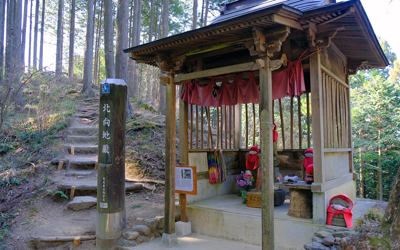
To Kitamuki Jizo (North-facing Jizo statues)
The hike from Mt. Monomi to Kitamuki Jizo is a pleasant mountain walk of about 40 minutes in the beautiful woods. The routes to Kitamuki Jizo are easy and hikers can basically go straight along the trails. Return the trail for 200 meters and fork left to Kitamuki Jizo. Then after 20 minutes of walking from Mt. Monomi fork right to Kitamuki Jizo. This is the only junction that you should be careful.
In the Edo period (1600-1868), the high quality timber of this area called Nishikawa-zai was very popular and brought to Edo (present Tokyo) by river. Since then the woods here have been well taken care of. Jizo statues are guardians of children and travelers. Roadside statues of Jizo are a common sight in Japan. Since the south is regarded as an auspicious direction, most shrines, temples and statues stand facing south while Kitamuki Jizo statues are facing north. In the end of the 18th century when people were suffering from a series of famine and epidemics, they were branched from a famous temple in Tochigi prefecture located in the north to alleviate the feeling of hunger and pain. They are intentionally placed facing north to pay respect to the original temple.
To Musashiyokote station
To continue on to Musashiyokote station, descend a trail toward south. There are two routes to descend and these two routes will meet after 15 minutes of walking. Along the way, there are Gojo-no-taki Waterfalls on your left which are named after the five eternal Confucian virtues. Currently this area is closed except for special occasions but from the trail you can see a beautiful scenic area around the bottom. From here another 30 minutes of walking down the road takes you to Route 299, and Musashiyokote station is just 100 meters away.
Translator: Shuji Ozaki Author: Toru Sasaki
