9. Mt. Maruyama and Mt. Hinata Trail (丸山・日向山トレイル)
Trail Location: Start: Ashigakubo station, Seibu Chichibu line
Goal: Yokoze station, Seibu Chichibu line
Access From Tokyo, take an express train or a limited express train on the Seibu Ikebukuro line at Ikebukuro to Hanno. From there, take the Seibu Chichibu line to Ashigakubo station. The trip takes 80 to 90 minutes.
To return to Tokyo, take the Seibu Chichibu line at Yokoze station to Hannno station. From there, take the Seibu Ikebukuro line to Ikebukuro station.
Total Length: 13.3km
Course Time: 5 hours
Elevation Difference: 710m
Difficulty Rating: 2 (easy)
Difficulty ratings: (1) beginner, (2) easy, (3) moderate, (4) strenuous
Trail Features
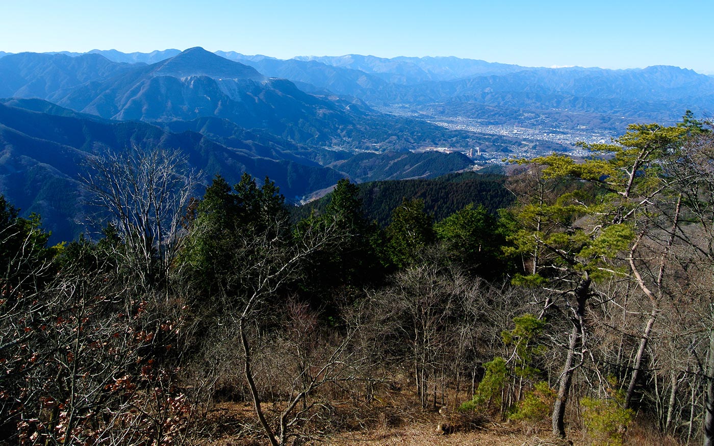
・Mt. Maruyama is located in the northwestern edge of the mountain ranges running along Okumusashi Green Line forest road. Okumusashi Green Line, a 40-kilometer forest road stretching from Lake Kamakita in the southeast to Chichibu area in the northwest, is very popular among cyclists with many peaks and passes. There are many trails running along it, so hikers often cross the road when they are in this area.
・In Ashigakubo area, there are many orchards and groves. At the foot of Mt. Hinata lies Ashigakubo Orchard Village where fruits such as strawberries, apples and grapes are cultivated in the south-facing slope.
・During early to the middle of April, Mt. Hinata area is most beautiful with cherry blossom trees, azalea flowers, katakuri dogtooth violet and wild flowers in full bloom. Autumn foliage along the trails most beautiful during early to the middle of November.
・There are optional routes connecting to nearby stations. Some of them are introduced below.
Trail Description
To the junction where a trail from Mt Hinata meets
Mt. Hinata is located right in the north of Ashigakubo station. Hikers should cross Route 299 and fork left and pass a small temple to your right. The country road is winding and pretty steep. Past the entrance to Farmer’s Park on the left, you will soon come to a 3-pronged-fork like junction. Fork right and take a road that continues ascending. The road will come to a trailhead to Mt. Maruyama. The trail skirts around the mountain through the woods of Japanese cypress and various trees. You will come to a net door and after a while fork right at a three-way junction. After 30 minutes of walk, you will arrive at a junction where a trail from Mt. Hinata meets on the left.
To Kenmin-no-mori and Mt. Maruyama
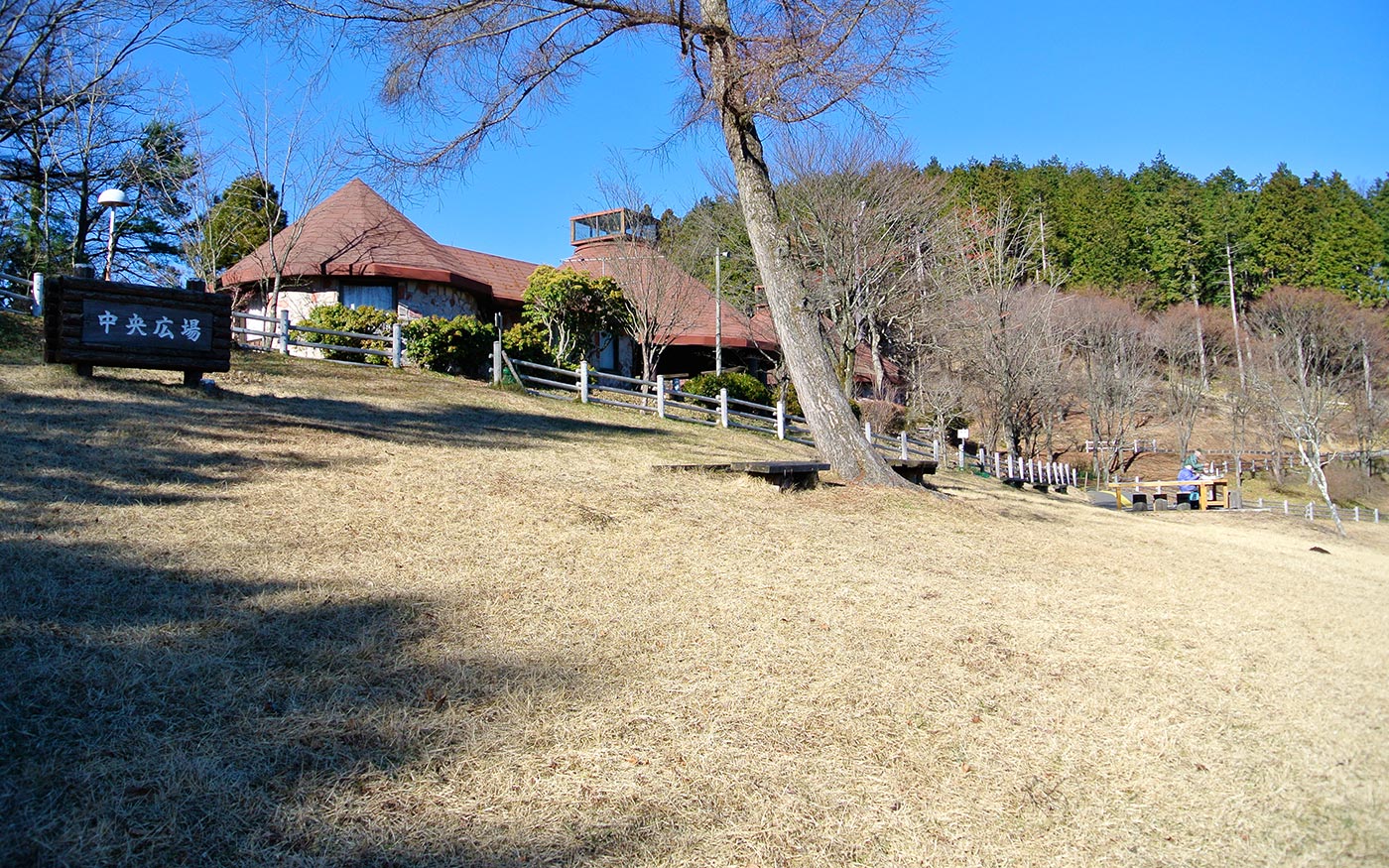
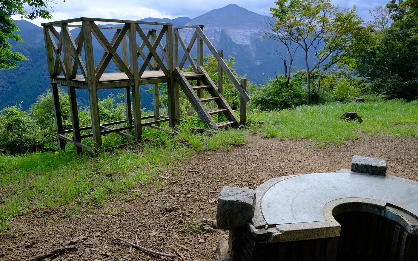
At the junction of the trail you have come and that from Mt. Hinata on the left, you should proceed straight along ridges ahead to Kenmin-no-mori and Mt. Maruyama. After 20 minutes of walking, you will cross a road and a walkway just before arriving at the hilltop of Kenmin-no-mori. A short walk from the hilltop will take you to a rest house, a toilet and an exhibition facility. The trail from the hilltop to Mt. Maruyama crosses a walkway then a short ascent. At the peak of Mt. Maruyama stands an observation deck made of concrete that provides a 360-degree view of the surrounding mountains. On clear days, the mountain ranges of Northern Alps and Southern Alps will come into view.
To Mt. Hinata and Yama-no-Hanamichi (Mountain Path of Wild Flowers)
Now let’s return to the junction of trails coming from Ashigakubo station and Mt. Hinata. From the junction, the trail to Yama-no-Hanamichi is a winding descent that meets a road in 20 minutes of walking. There are parking lots, the Kinoko-chaya restaurant, vending machines and a toilet.
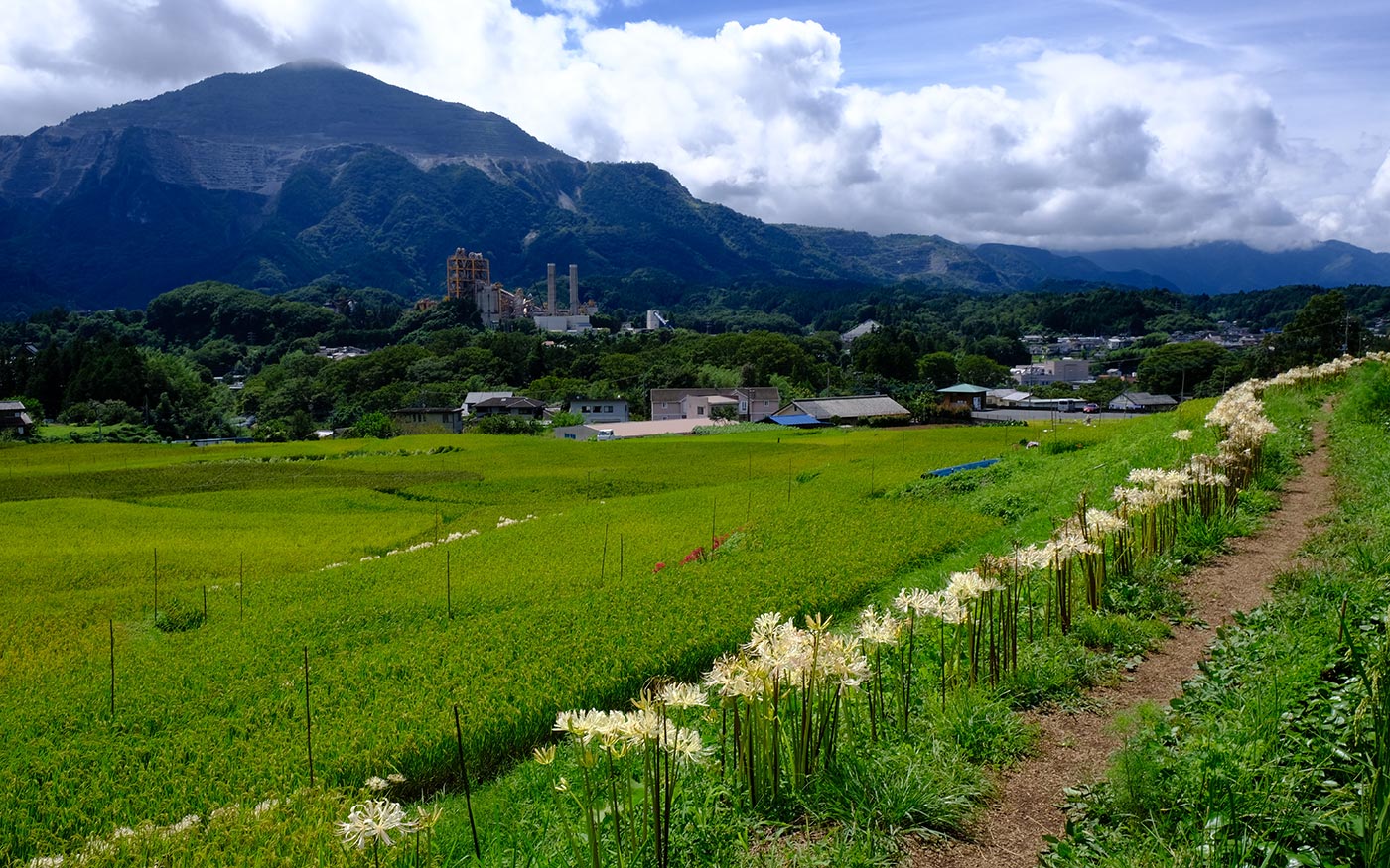
Yama-no-Hanamichi is one of the best scenic spots along the course. Located just below the peak of Mt. Hinata, it is a 1.5km-long path that runs through the field of wild flowers. Cherry blossom trees, azalea flowers, katakuri trout lilies and wild flowers are beautiful in April; autumn foliage along the trail most beautiful in November. From the west side of the trail, a short ascent takes you to the peak of Mt. Hinata.
To Yokoze station
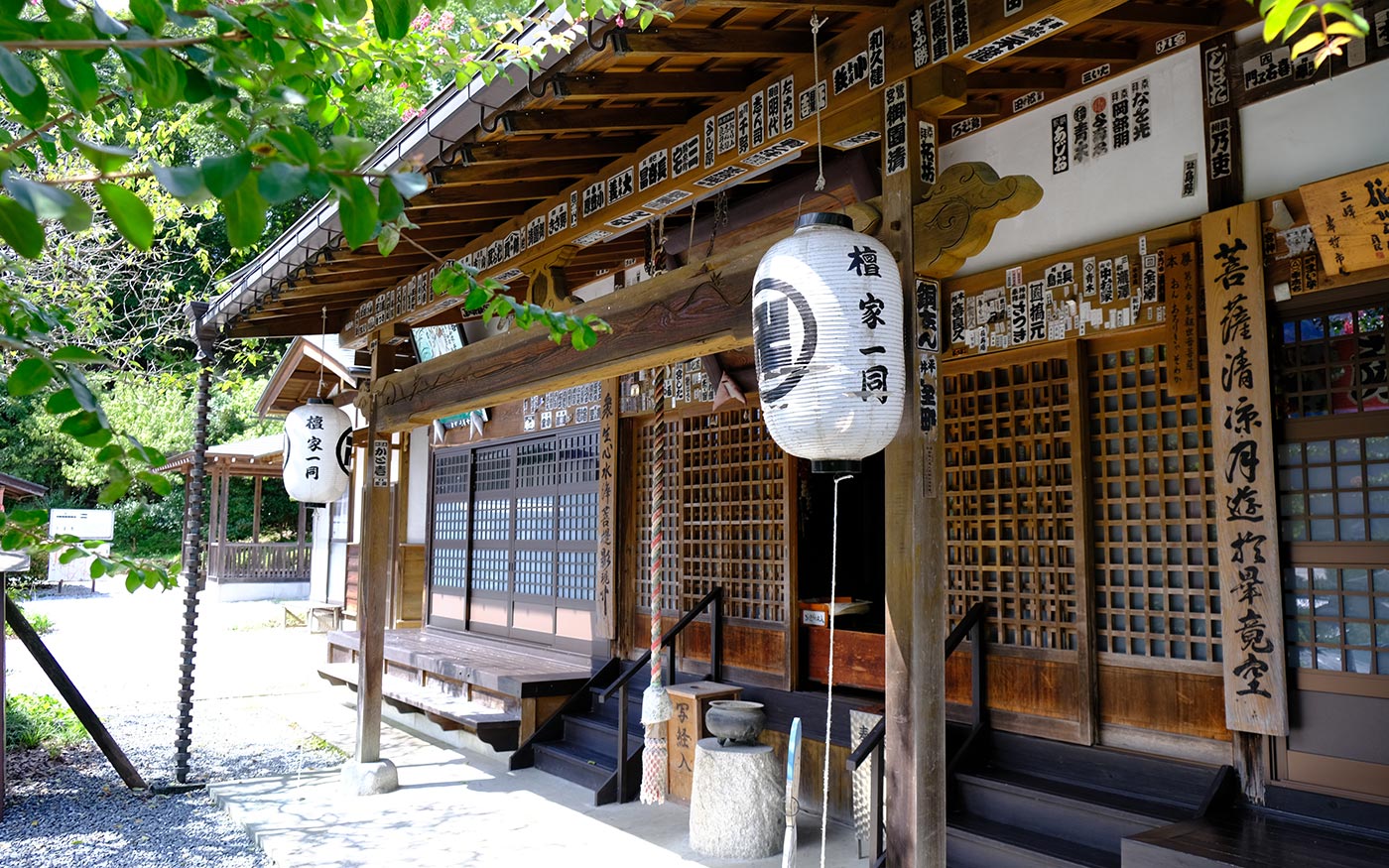
To head for Yokoze station, proceed a trail to the west of Mt. Hinata that soon veers to the south. In 20 minutes, you will arrive at Kotohira shrine. At the bottom of the steps turn right and proceed a road for a while. The road soon turns into a trail. In 30 minutes of descending along the trail, you will arrive at Bokuun-ji temple, the 6th temple among the 34 temples of Chichibu Pilgrimage. Then follow the sign directing to Hocho-ji temple, the 7th, and to Akechi-ji temple, the 9th. From there, Yokoze station is 300 meters away.
【Optional Routes】
Direct route to Yama-no-Hanamichi (Mountain Path of Wild Flowers)
Instead of returning from Mt. Maruyama and Kenmin-no-mori, there is a direct route to Yama-no-Hanamichi. Enter a walkway to Farmer’s Park that runs by a long red rolling slide. Enter a trail by a restroom that meets a road after a short ascent. After 20 meters on a road enter a trail that runs through groves of strawberries and grapes and continues on to an ascent in the woods. The junction ahead is a trailhead to Yama-no-Hanamichi. From west side of the trail, 5 - 10 minutes of ascent takes you to the peak of Mt. Hinata where panoramic views of mountain ranges will come into sight. To continue on to Mt. Maruyama from parking lots, walk a road for a while and enter a trail on the right hand side at a three-forked road; another 25-minute walk will take you to the junction of the route from Ashigakubo station as described above.
A loop route
Instead of taking a route from Mt. Maruyama to Yokoze station, you can take a loop route to Ashigakubo station. It takes about 2 hours of walk from Mt. Maruyama to Ashigakubo station.
Pass a radio station tower to your left and proceed a trail running in the woods of cedar trees on the left and deciduous broad-leaved trees on the right. After 15 minutes of walk, fork right to Ohno Pass. Just before Ohno Pass, there is a lawn terrace for para/hang glider launch. To proceed on from Ohno Pass, cross a road and take a trail to the southwest. After a steep descent for a while, the trail comes to run along a stream. The slope soon becomes shallower and the trail skirts around the mountain. Then it comes to a small village and meets Route 299. Proceed the sidewalk on the right hand side of the road. There is a stone Jizo statue housed in a shelter down the road. Ashigakubo station is 2 km away along the road.
From Kenmin-no-mori to Yokoze station via Kinsho-ji temple
Take a path to the west beside the exhibition facility. Beginning with a gentle descent, cross a road and enter a trail. Throughout the routes hikers proceed mostly in the woods. In open area, you can see Mt. Buko on the left. In about 2 hours of walk, you will arrive at Kinsho-ji temple, the 4th temple of Chichibu Pilgrimage. The temple is famous for the statue of merciful bodhisattva embracing a baby and more than 1,000 of stone statues donated by followers in the late 18th century. From there to Yokoze station is a 4-km walk on the roads. Follow the signs directing to Gokadou temple, the 5th temple of Chichibu Pilgrimage, then to Buko Onsen hot spring baths on the way to Yokoze station.
Translator: Shuji Ozaki Author: Toru Sasaki
