11. Mt. Warabi Trail (蕨山)
Trail Location: Start: Nago Bus Stop
Goal: Sawarabi-no-yu Bus Stop
Access From Tokyo, take an express train or a limited express train on the Seibu Ikebukuro line at Ikebukuro to Hanno. The trip takes 40 to 50 minutes. Then take a bus to Nago at Hanno station and get off at the final stop. The trip takes about an hour.
To return to Tokyo, take a bus at Sawarabi-no-yu bus stop to Hanno station. From there, take the Seibu Ikebukuro line to Ikebukuro station.
Total Length: 10.3 km
Course Time: 5 hours and 5 minutes
Elevation Difference: 783m
Difficulty Rating: 3 (moderate)
* Difficulty ratings: (1)beginner, (2) easy, (3) moderate, (4) strenuous
Trail Features
・Located at the border of Okumusashi and Okutama, Mt. Warabi is one of popular peaks in Naguri area along with Mt. Bohnomine sitting in the south of Lake Naguri.
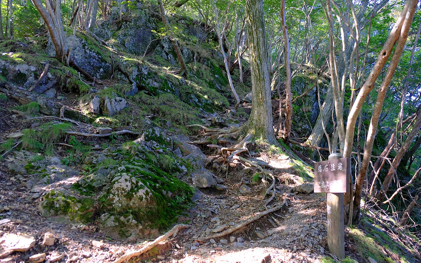
・Along the route from Nago bus stop to Mt. Warabi, there are a couple of steep slopes of rocky and slippery terrain in some places. In this trail guide, the route is introduced so as to avoid descending these dangerous slopes.
・Experienced hikers can take the reverse route starting at Sawarabi-no-yu bus stop. One can continue a hike on to Mt. Takekawa and Mt. Futago and finish at Ashigakubo station of the Seibu Chichibu line with the total distance of over 20 km.
Trail Description
To Mt. Warabi
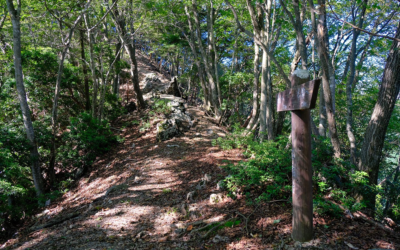
From Nago bus stop, take a country road by a driveway. After a short walk, turn right to cross a bridge and proceed a forest road for 1 km. At the dead end, turn right to cross a stream and enter a trail leading to Mt. Warabi. The trail becomes a steep climb of short switchbacks in a cedar forest. After half an hour of ascending, you will reach a mountain ridge where a direction sign says “1.7km to Mt. Warabi.”
From here, the trail leading to Mt. Warabi is a fairly steep ascent. There are rocky terrain, exposed roots and slippery trails in some places. When you come to a flat area with open views, it is a ridge stretching to Mt. Warabi.
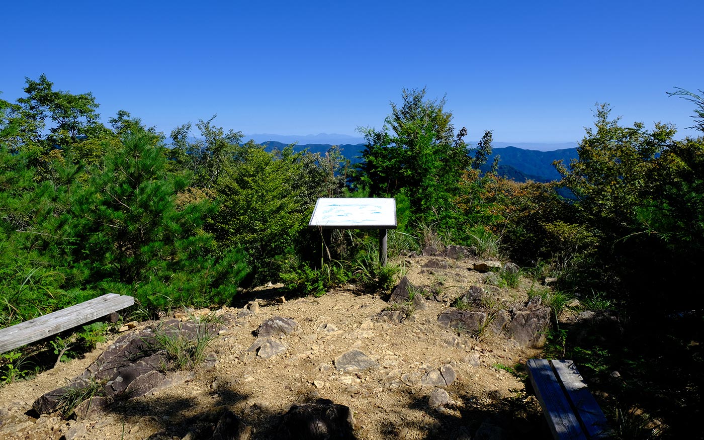
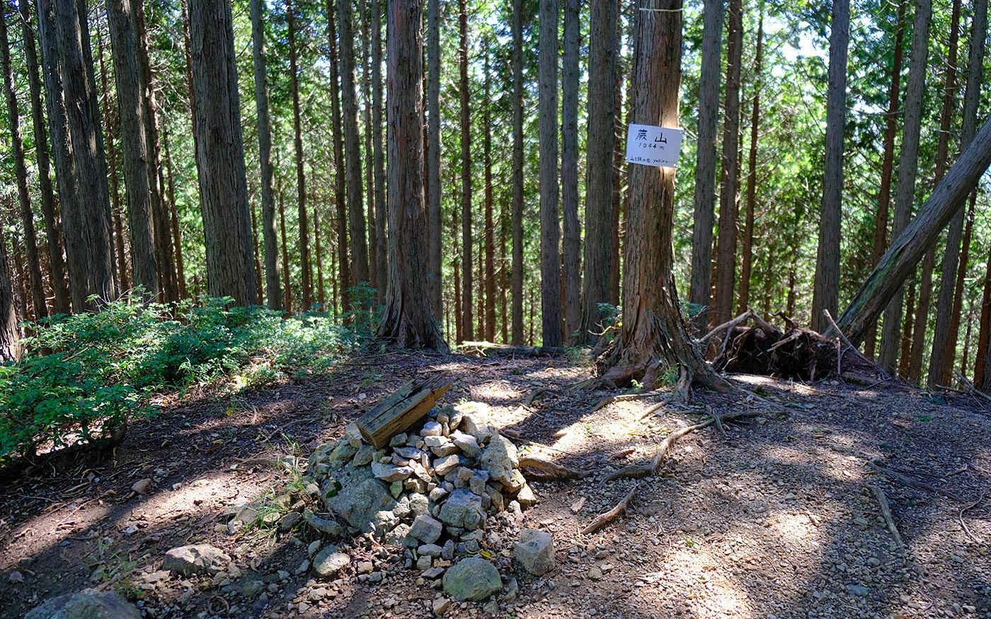
Mt. Warabi has a couple of small peaks. If you fork right at the ridge, you will come to the highest peak of 1,044 meters but with limited views. You should fork left to come to the most popular peak and continue the hike towards Sawarabi-no-yu. This peak is 1,033-meter high where many hikers are enjoying panoramic views of surrounding mountain ranges.
To Mt. Fujidana
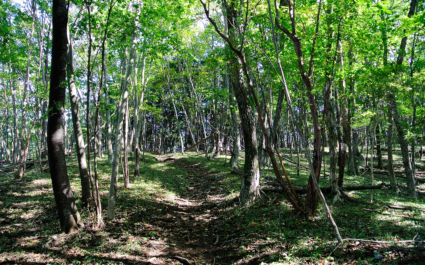
After taking a short break, let’s continue the hike. After a short but steep downhill and walking along a ridge, you will come to Mt. Fujidana. If you take a reverse route, there is a point where you may find it difficult to locate the correct route. Just before a half way from Mt. Fujidana to Mt. Warabi, a path turns into a relatively wide forest road. However, the correct route veers right and runs along a ridge. Not to miss the route, you should have a map ready all the time and stay along a ridge in this section.
To Sawarabi-no-yu Bus Stop
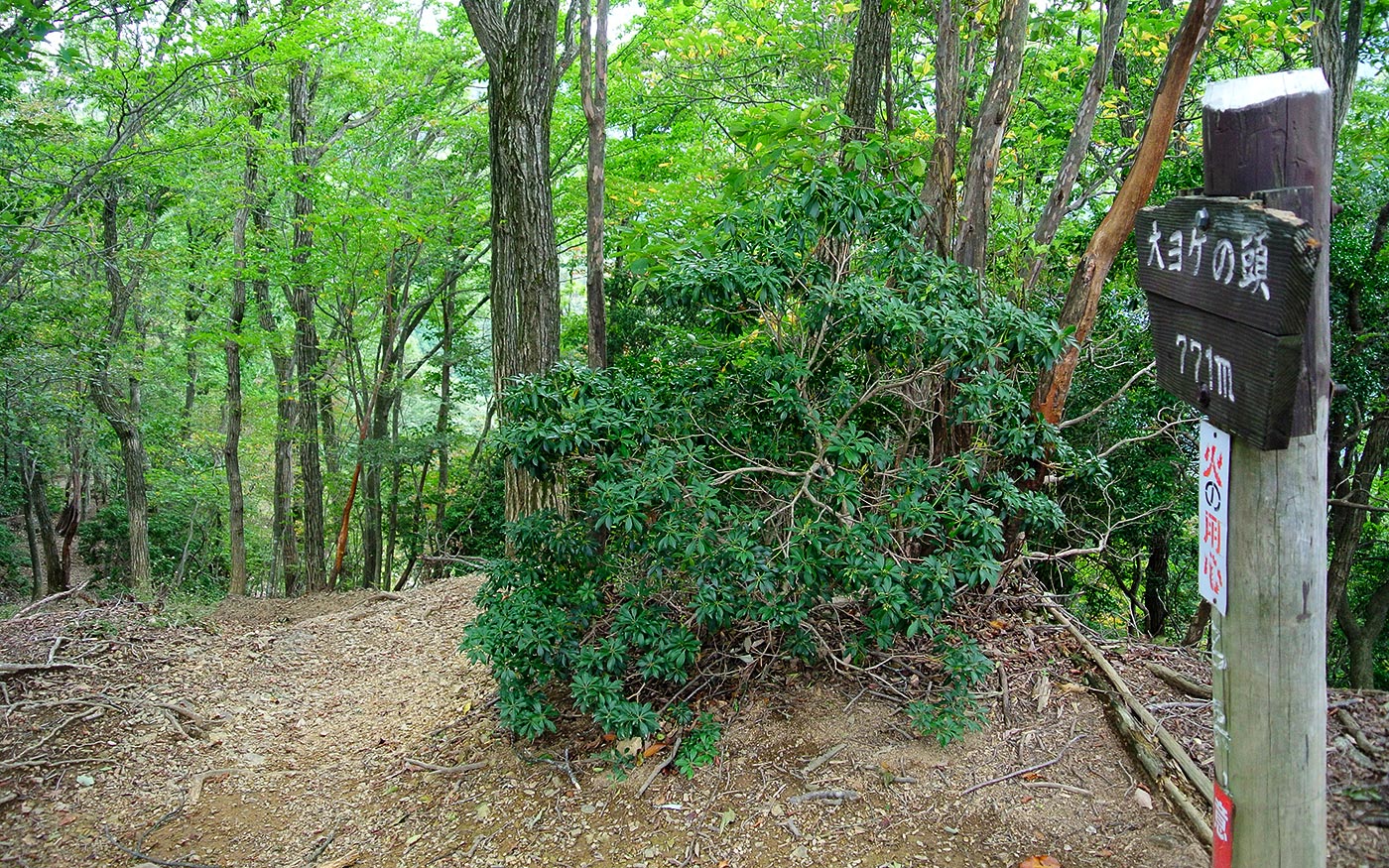
After 30-minute walk of small ups and downs from Mt. Fujidana, you will come to Ohyoke-no-Atama. From here, the path becomes a single track guarded by ropes but not dangerous at all. After walking along a ridge for another 30 minutes, the trail will be joined by Lake Naguri Nature Trail. There are many boards explaining the natural environment along the trail and route maps.
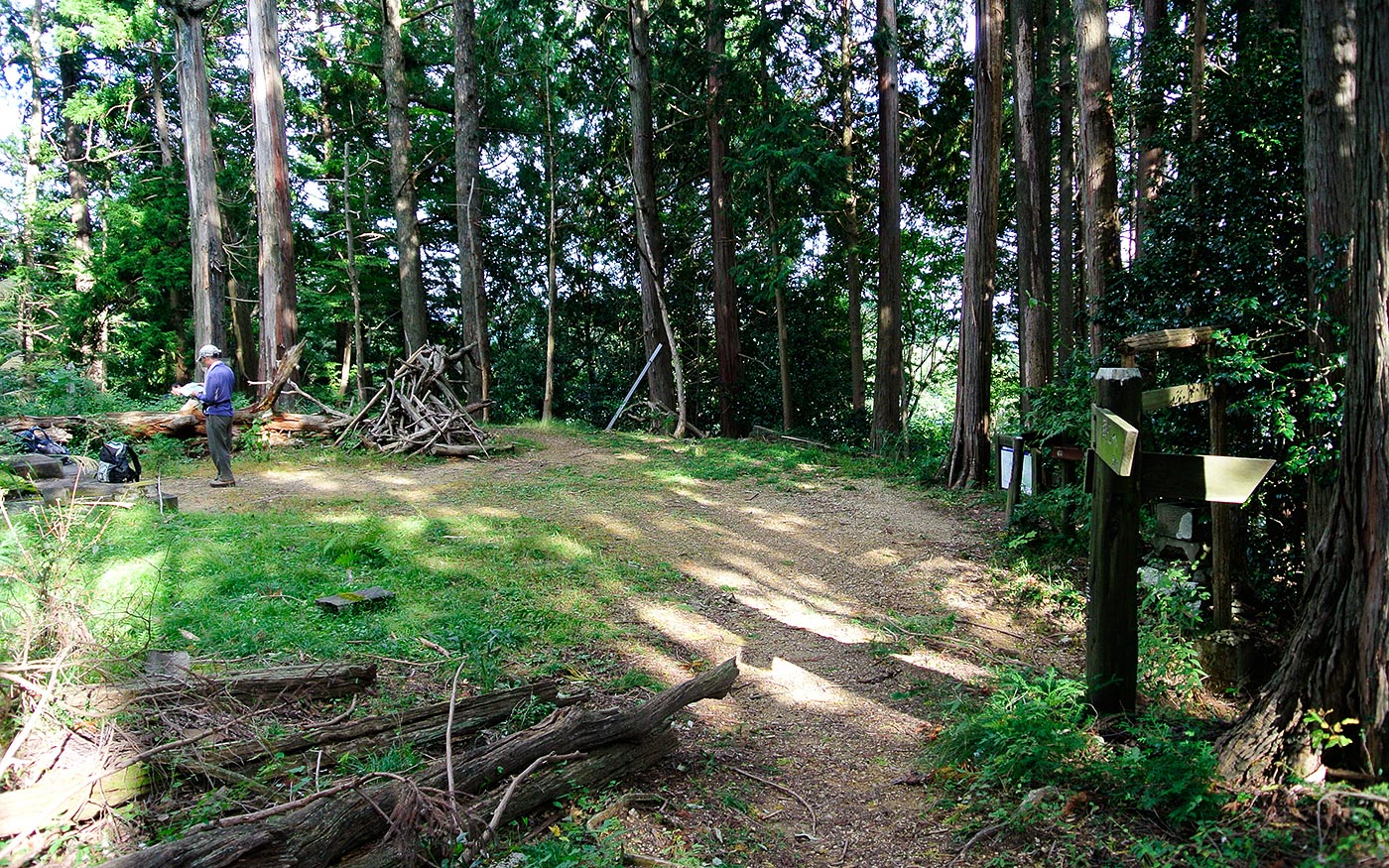
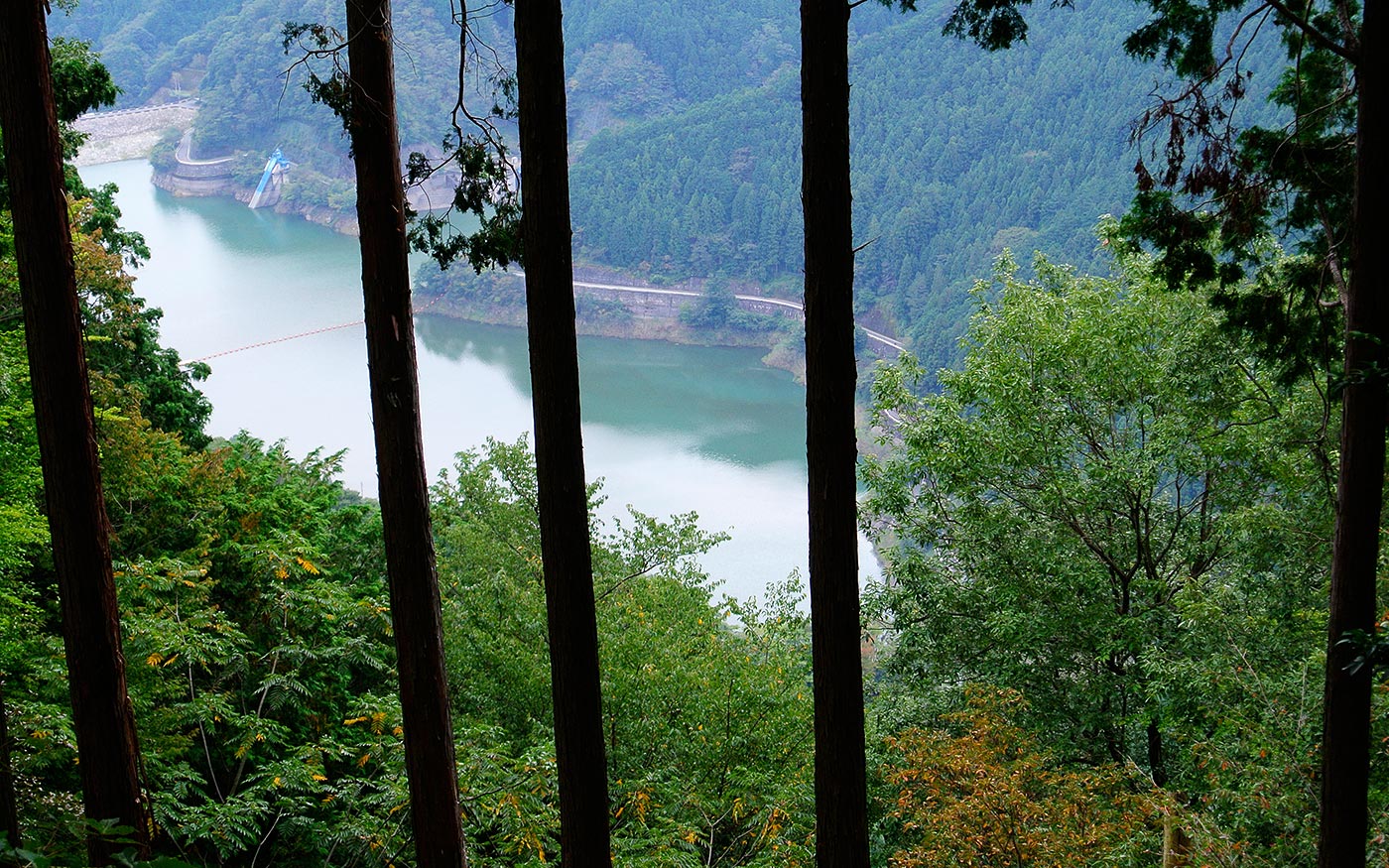
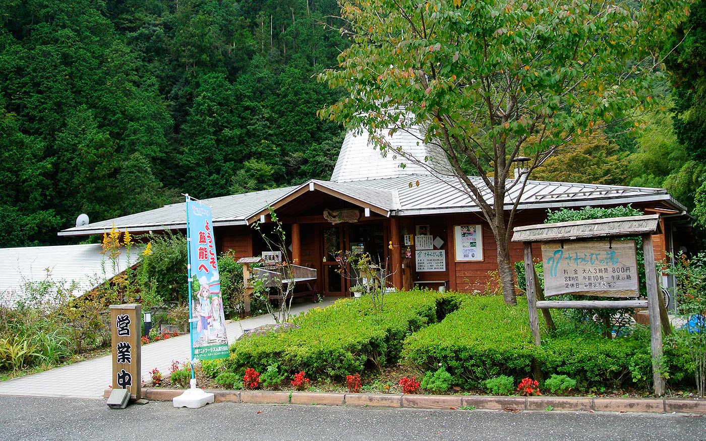
Past Mt. Kompira on the left, you will come to a site of Kompira jinja shrine. The fire in 2,000 burnt down all the buildings. Now there are no structures left except a small shrine and a stone torii gate. Go through the stone torii gate and continues walking down along a ridge. You will soon come to an open area with clear view of Lake Naguri. A short walk from here will take you to Sawarabi-no-yu bus stop.
A Reverse Route
If you take a reverse route starting at Sawarabi-no-yu and finishing at Nago bus stop, you could continue your hike and traverse Okumusashi mountain range by climbing Mt. Takegawa and Mt. Futago, and finishing at Ashigakubo station. Since the total distance of this hike will be over 20 km, this route is recommended only to experienced hikers.
Translator: Shuji Ozaki Author: Toru Sasaki
