1. Mt. Tenranzan and Kinchakuda Trail (天覧山・巾着田)
Trail Location: Start: Hanno station, Seibu Chichibu line
Goal: Koma station, Seibu Chichibu line
Access From Tokyo, take an express train or a limited express train on the Seibu Ikebukuro line at Ikebukuro to Hanno. The trip takes 40 to 50 minutes.
To return to Tokyo, take the Seibu Chichibu line at Koma station to Hanno station. From there, take the Seibu Ikebukuro line to Ikebukuro station.
Total Length: 10.2km
Course Time: 3hours and 45 minutes
Elevation Difference: 166m
Difficulty Rating: 1 (beginner)
* Difficulty ratings: (1)beginner, (2) easy, (3) moderate, (4) strenuous
Trail Features
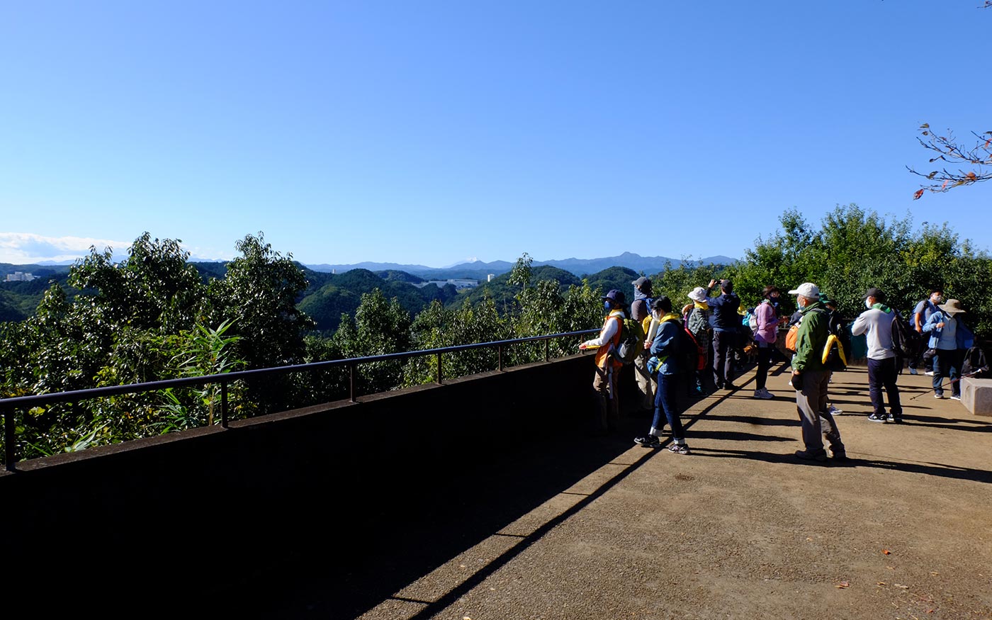
・This course is suitable for hikers of all levels. While easily accessible from train stations, one can enjoy flowers of seasons, satoyama scenery and the local history.
・Mt. Tenranzan is a low hill of 197 meters in Hanno. Tenranzan, literally “a mountain of emperor inspection,” is named after Emperor Meiji’s inspection of the military drills from the top of the hill at the end of the 19th century.
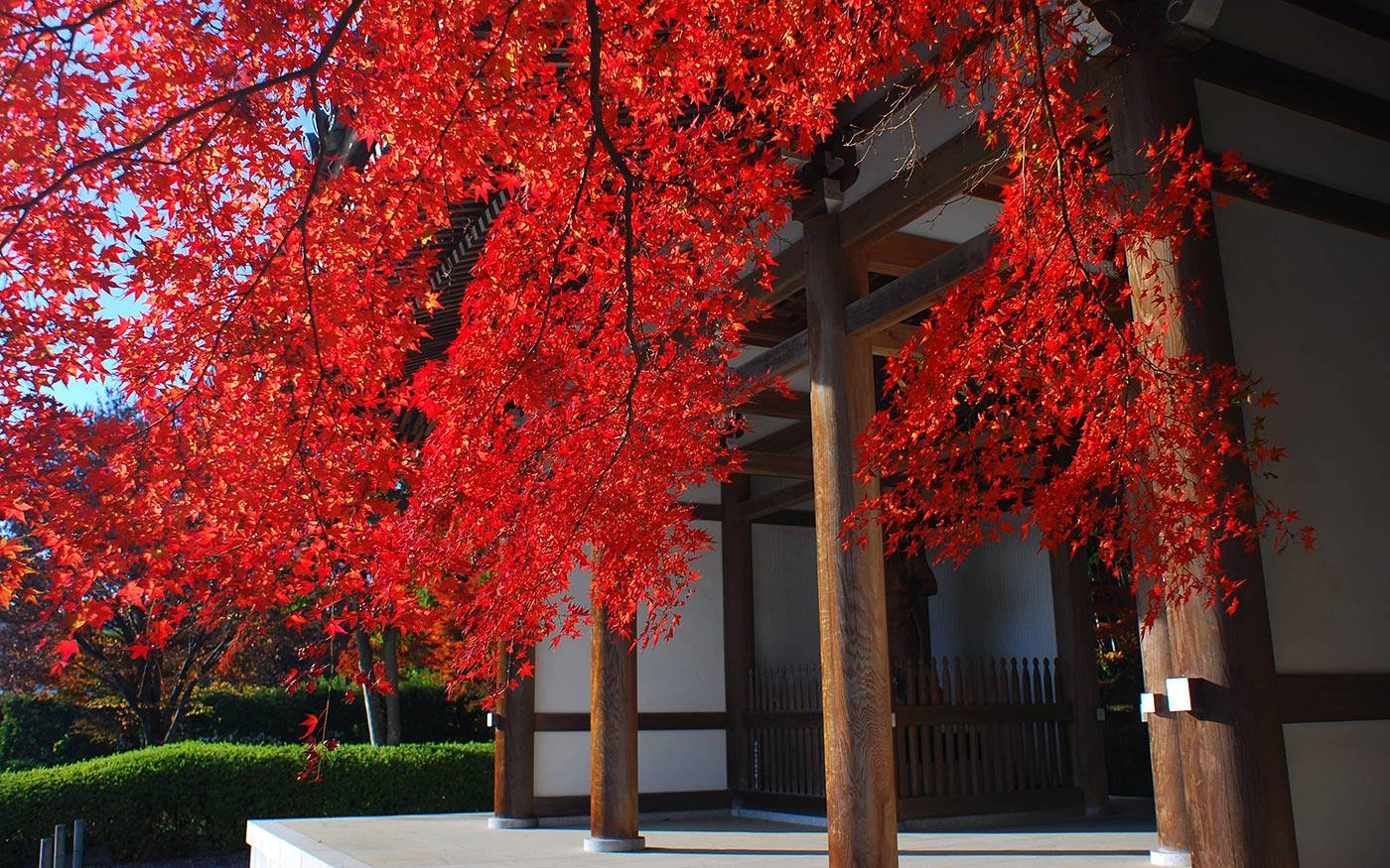
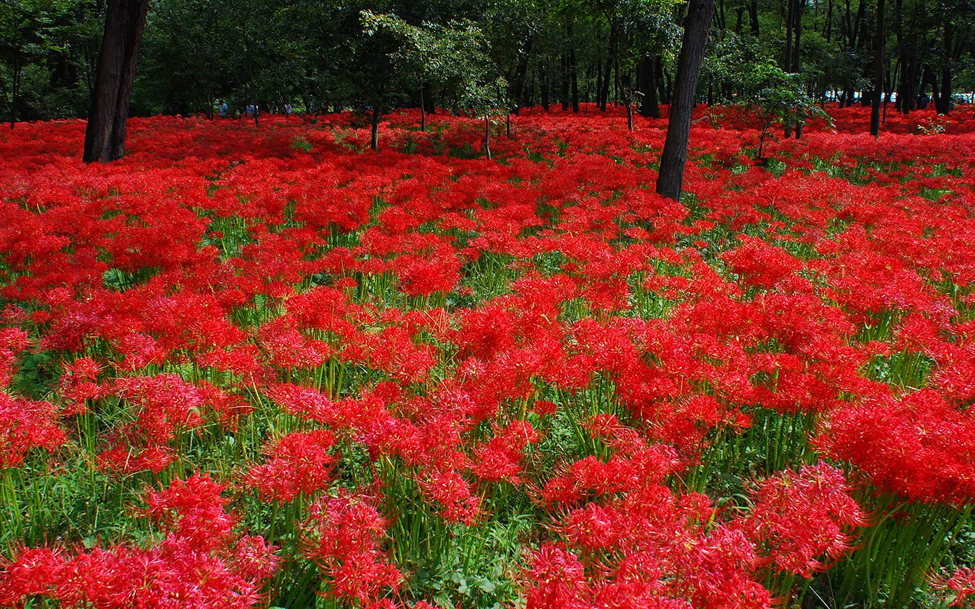
・Kinchakuda is a field famous for a tremendous number of spider lily flowers in the early autumn. In spring, the field is fringed with cherry blossom trees along the riverbank. It is so called as the shape of the field resembles “kinchaku,” a money pouch with a drawstring.
Trail Description
To Mt Tenranzan
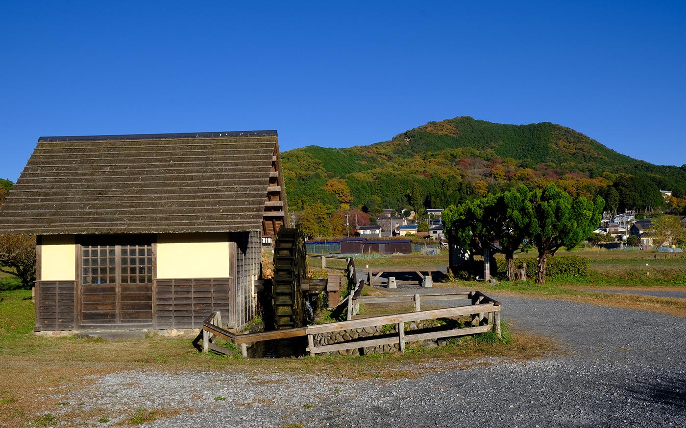
Start walking west from Hanno station toward a river. Then after a short walk along the river, head for the Central Park. The trailhead to Mt. Tenranzan is at the east end of Nohnin-ji temple, just north of the Central Park. Nohnin-ji temple, founded in early 16th century, is a Zen Buddhist temple with beautiful gardens where one can experience “zazen” Zen meditation on Sunday morning. A walk to the hilltop will not take more than half an hour. Along the way, there are many stone statues of Buddhist monks. They are “16 Rakan disciples of Buddha,” the Buddhist equivalents of the Christian apostles. A short climb from there will take you to the hilltop.
To Mt. Tonosu
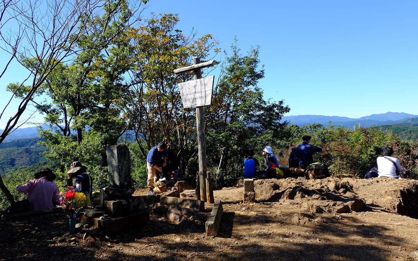
The trail continues on to Mt. Tonosu. After a short descent, you will come to rice paddy fields. The environment of satoyama has been preserved here thanks to the effort of the locals. You can find fireflies in the early summer which is quite rare in recent days except in very remote areas. Past the walkway in the field, you will come to a slope, called “Mikaeri-saka,” or a looking-back slope. It is said that mother of Minamoto-no-Yoshitsune, a very famous samurai general of the 12th century, looked back at beautiful sceneries while climbing the slope. After walking in the woods and stone steps, you will arrive at a hilltop of Mt. Tonosu. There are a couple of tables and benches there. It’s a nice place to take a break.
To Koma Pass
Let’s climb down the stone steps that you have come to head for Koma Pass. Fork left at the junction ahead and after 30 minutes of walking along a ridge, you will hit a road. Turn left and walk along the road for 350 meters. At the opposite side of Route 299, you will find a trailhead to Koma Pass.
To Kinchakuda
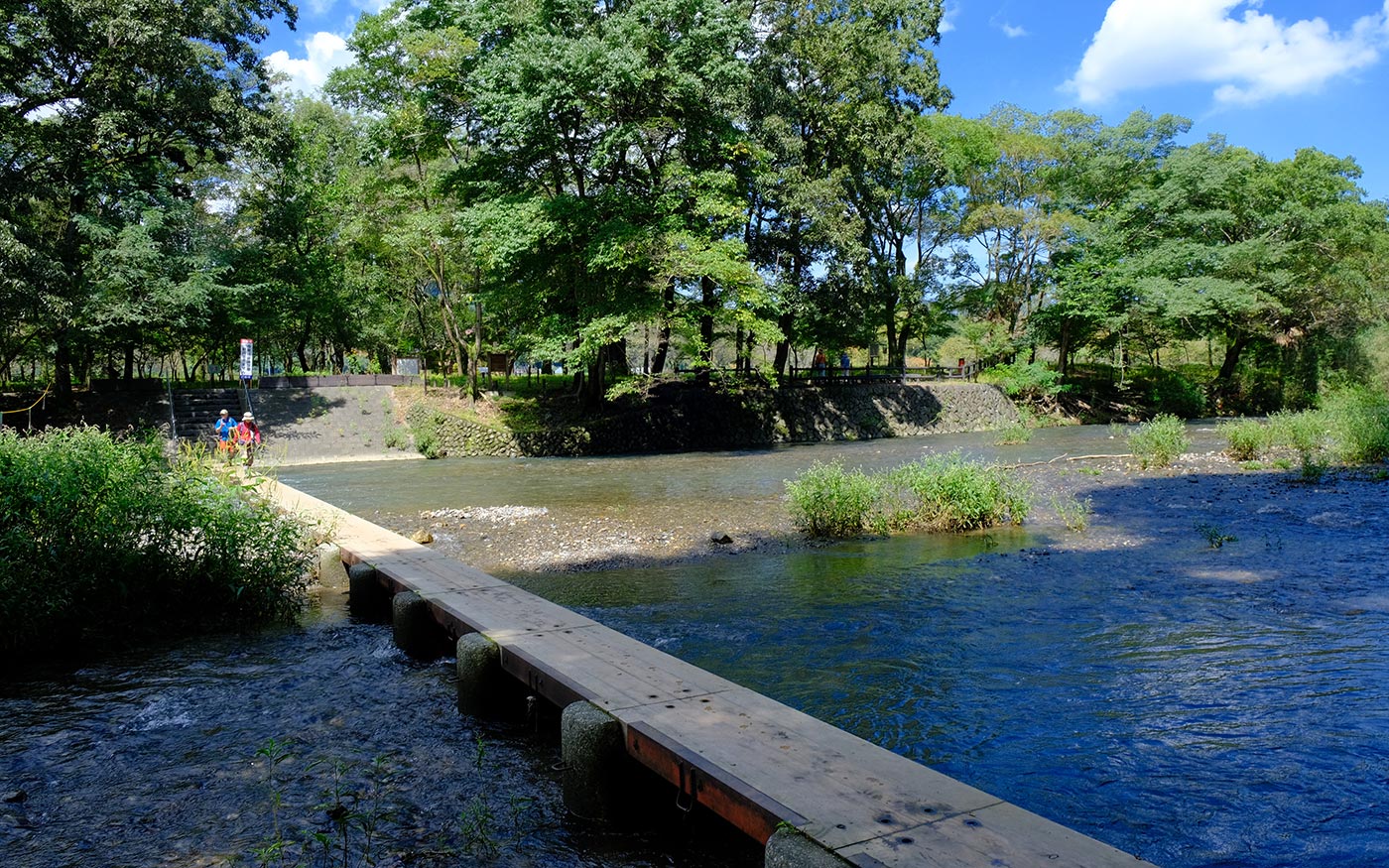
Fork left at Koma pass to head for Kinchakuda. In less than half an hour, you will come to Koma River. Now Kinchakuda is right in front. Kinchakuda is a field famous for a tremendous number of spider lily flowers in the early autumn. In spring, the field is fringed with cherry blossom trees along the riverbank. It is so called as the shape of the field resembles “a kinchaku,” a money pouch with a drawstring.
To Koma station
Fork left a road just outside Kinchakuda and cross a bridge. Then take a small path on your left by the junction just in front to head for Koma station.
Translator: Shuji Ozaki Author: Toru Sasaki